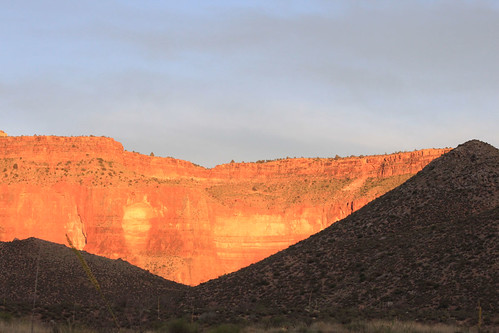
Hiking Log: Bill Hall Trailhead to the Surprise Valley campsite
Mileage: About 9 miles to the campground
Elevation lost: About 3766'
Buttkicking factor: Not as bad as I feared. I'll say 2.5, because I have no issue with going down.
Francie and I flew into Vegas at the crack of dawn on Thursday, May 27. It's the most convenient city to get to the north rim, not to mention all the other fantastic places in the general area. We stopped in St. George, Utah for some lunch and final gearing up, bought six gallons of water, and headed out across the plateau for the trailhead. Blaze through Colorado City (Mormon Fundieville), turn right after Fredonia, and drive 40 more miles. Easy, as long as the roads are in good conditions. Luckily, they were. We only got turned around once, as we were confused for a moment whether the Thunder River Trailhead left from the same general area and the Bill Hall Trailhead. (Nope.) We arrived just as the shadows were getting long and Francie had her first ever look at the Grand Canyon. We set up camp and hit the sack pretty quickly, as the next morning we'd agreed on a 4:00 am wakeup.
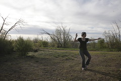
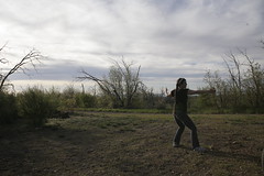
Setting up camp, then practicing tai chi.
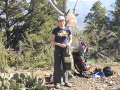
We hit the trail at about 5am the next morning. Luckily, there was a full moon, as my headlamp was giving me trouble again, despite a thorough test before leaving home. The problem with canyon hiking is that the days are blazingly hot, but the nights are freaking cold. I started off bundled up in fleece and hiked down through the chilly dawn. The trail isn't as bad as its reputation implies--the initial descent was a little tricky in the dark, though. We needed to take it slowly and carefully until sunrise.
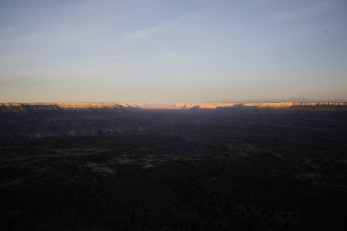
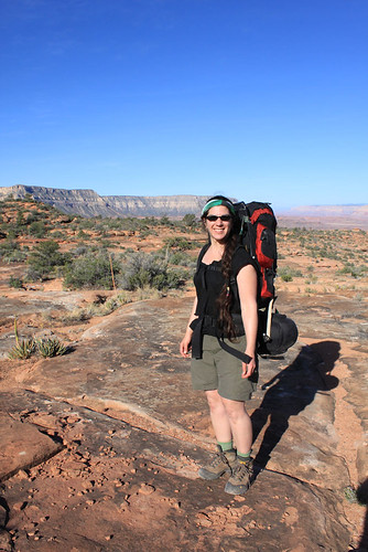
We made it down 5 miles to the incredibly beautiful slickrock plateau in about two hours, whereupon we dropped our packs and made coffee. Breakfast was salty Thai noodles, which tasted divine. Afterward, as the sun was beginning to brighten up, we headed off across the 3 mile plateau. This was a very easy and enjoyable part of the hike. It's probably hellacious up there in the heat of the day, but lovely in the cool hours. People are generally advised to camp here so they don't have to carry their packs down the next descent into Surprise Valley, but it makes for extra-long dayhikes to the two oases. Still, I wouldn't mind staying here for its own merits sometime, perhaps as a layover from hiking gear up from Deer Creek.
The canyon was in bloom -
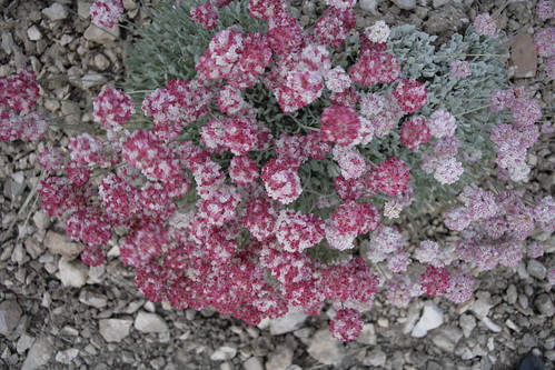
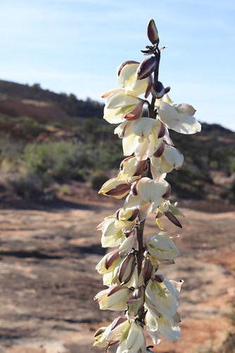
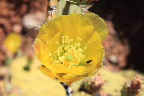
And someone added something to these rocks -
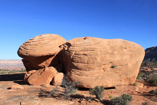
Esplanade!
About 9:30 or so, we hit the descent into Surprise Valley. Again, the trail was a little rough, but not bad at all. We made it down to the plateau before the heat of the day started hitting, which was the point of heading out so early. This area is not ideal for camping, but I didn't manage to land actual Deer Creek permits. When they sent me these permits (along with tons of literature about how we can DIE on this trip), the backcountry rangers made it very clear that one should not plan on staying at the campsite during the day. I had to file a flight plan before the permit was approved, so I put down that we'd drop our packs and head immediately on to Thunder Springs the first day, then spend all day at Deer Creek the second. (If you hike alone, you also need to send them a thorough description of what you look like, your gear, your car, etc. Lots of rescues in this area.)
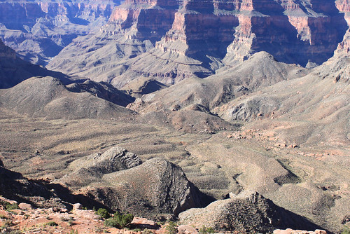
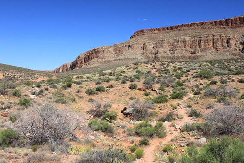
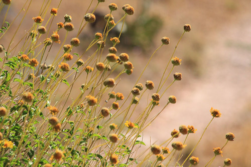
We were greeted by some cheery morning birds and, after some confusion, finally found the one campsite for the entire valley. No close neighbors! By this point, the sun was fully up and the heat was beginning to settle, so we dropped our packs, loaded up some daybags with water, food, sunscreen and cameras, and split for Thunder Springs within minutes. The tent was left in our bags, so not to gather heat for an entire day. We decided that our gear was as safe as could be left alone, because no hiker in his/her right mind would add to weight before their hike out! :D
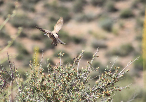
This was the second part of the first day. We hit our destination, but needed to set out on our second hike immediately in order to escape the heat of the day.
Mileage: About 4 round-trip. (We went down Tapeats Creek quite a distance...I was tempted to go all the way to the Colorado, but we turned back.)
Elevation lost: About 400', I think. Felt like a lot more! It probably was more, considering the distance, but that initial drop was brutal.
Elevation gain: That same 400'
Buttkicking factor: For some reason, the drop down to the creek was harder on me than the other descents, probably because I was tired. 3, also because we had to hike back UP.
The cruel thing about this hike is that you hear and see the river long before you get to it. After the initial drop down to a place where you can actually bushwhack over to get some water, it seems like there should be a lovely little area to lay about and bask with your feet stuck in a pool. Not so. There are a few rather dangerous areas where you can get close, but the campground and nice lounging areas are much further down the trail.
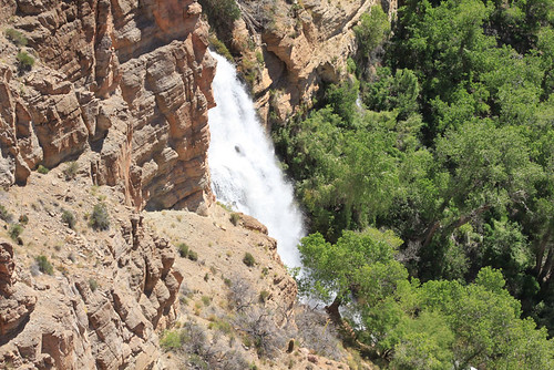
Francie and I weren't sure how far away these lounging areas were, so when we came across a nice, flat rock in the shade of the cottonwood trees, we stopped to take a well-earned siesta there. Of course, it meant sleeping while gripping the rock, but that worked out pretty well. Eventually, we woke up enough to fire up the stove and make a carbfest lunch of cheesy noodles. Afterward, I ventured close to the river to try to soak my bandana and cool off a bit, but it was too dangerous. The water runs *fast*. One tumble and it'd be all over. The edge was none to stable, either. We backed away from the idea of cooling down, packed up, and continued on down the trail to a safer location.
We eventually found the bottom of the canyon, of course, and could safely access the water. We immediately soaked our clothes to cool off. (One of the secrets to canyon hiking is to lose teh fearz of cotton. It's even in the backcountry instructions the rangers send out. You need absolutely no help in wicking moisture away! Also, cotton clothes hold water very nicely, so you soak everything before you start up on a hot descent. The water, mind you, is fucking FREEZING here.
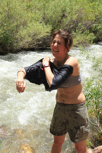
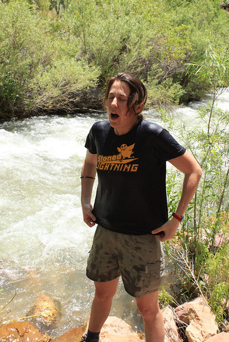
This is also why I'm wearing the stylin' bandanna in most of the pics. Soaking a bandana and wearing it around your neck goes a long way to keeping cool.
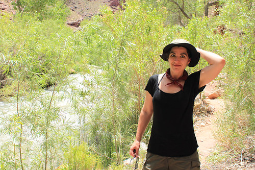
It's very lush under the cottonwoods.

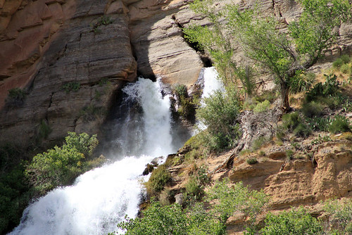
Francie was amazed that the water came right out of the cliff wall. It's a natural spring and because this is the source, there's no need to purify it. She needed to hear it from other people before she believed me, though. :D I don't mind extra purifying, so that wasn't a problem. We eventually drank from the other spring straight out.
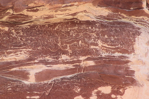
These rock markings *almost* look like petroglyphs.
Eventually, the day waned enough that we felt up for tackling the steep climb up to the top of the falls, then over and back into Surprise Valley. A few other hikers were arriving by then, ready to settle down into the campsites for the night. We slogged out, with one minor mishap--dropping our waterbag, which then split a seam at the top. As it was the majority of the water for our dry campsite (dinner, breakfast AND hiking water for the next day), we carried it very carefully back to camp. Luckily, our first aid kit had duct tape, which was just the thing.
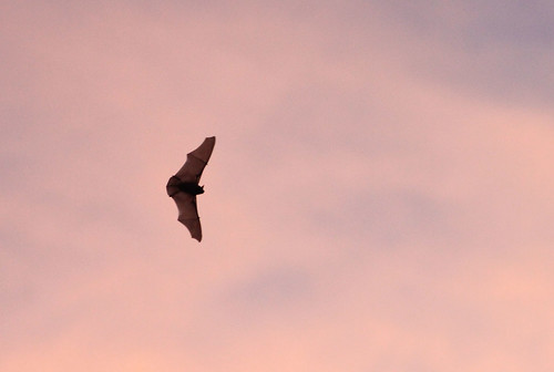
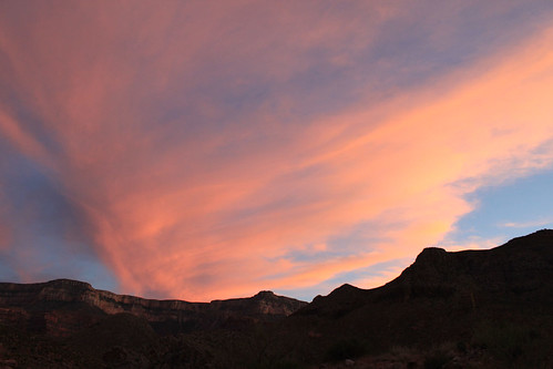
Francie crashed early, but I stayed awake and watched the incredible cotton-candy clouds of sunset. Also said hello to the bats, the stars, and listened to the desert come alive. It's really a wonderful and active place at night. Fell asleep under the stars, until the full moon came out to brighten the entire lonely valley. I so love it there, beneath the canyon walls!
