|
A Day Hike on Boott Spur and Mount Isolation in New Hampshire's White Mountains |
|---|
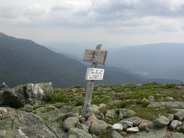
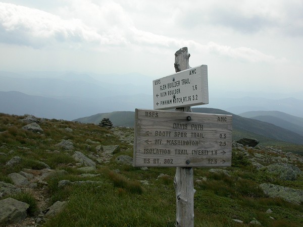
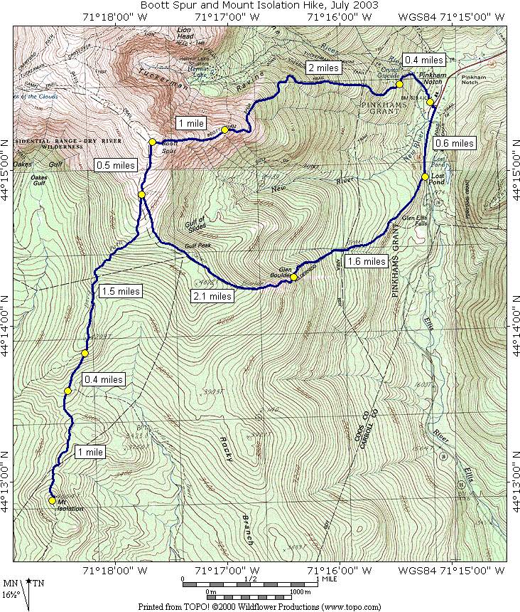
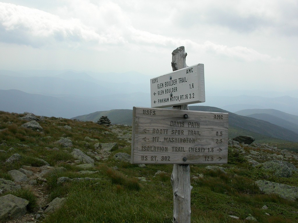
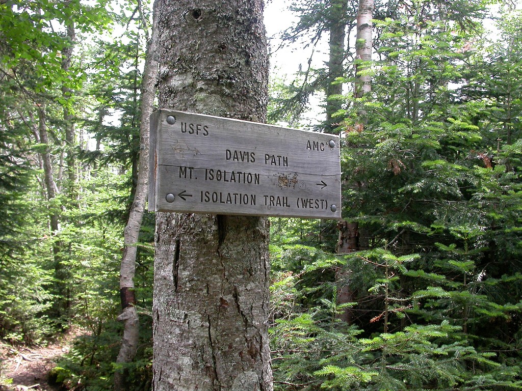
This day hike involved going up the Tuckerman Ravine Trail to the Boott Spur Trail to the the summit of Boott Spur and then taking the Davis Path from there to the summit of Mount Isolation. The return trip was by way of the Davis Path to the Glen Boulder Trail to Glen Boulder to Route 16. The return to Pinkham Notch was along Route 16.
|
This was a kick ass hike, but in a different, more like being kicked IN THE ASS, sort of way. But I did it and that's all that counts. And I did not have a single blister or sore muscle to show as a result so I guess I am in pretty good shape for this sort of thing. Sure I was tired when I finally got back to the car but who wouldn't be after walking 14 miles and ascending some 3,500 feet. The climb to Boott Spur and back down alone would have made for a good day hike but adding that segment along the Davis Path to Mount Isolation doubles the mileage. The Davis Path is a lot easier to deal with after climbing up to the top of Boott Spur but it was still another 7 miles or so of walking.
The starting point for this hike was the parking lot at Pinkham Notch off of Route 16.
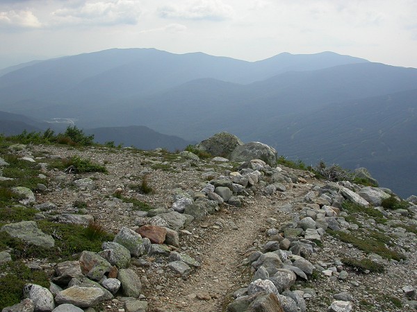
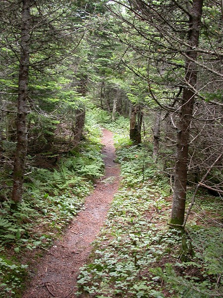
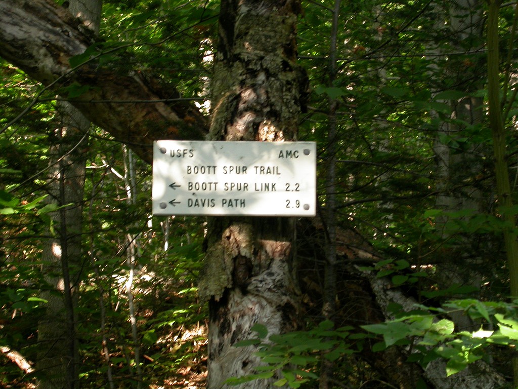
The first part of the hike up the Tuckerman Ravine Trail is heavily used and very easy to follow. There is a slight elevation gain along this stretch of trail but nothing significant. The 10-minute, 0.25-mile walk from the parking lot to Crystal Cascade was a pleasant start to the morning and spending a few minutes at the falls is always relaxing. The junction with the Boott Spur Trail is about 0.15 miles beyond Crystal Cascade. I've done this section of trail a few times before but every inch of trail after was new to me.
|
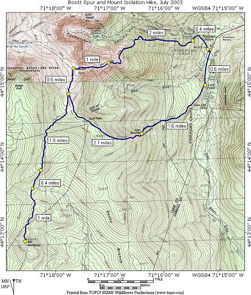
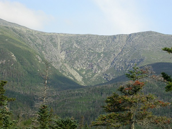
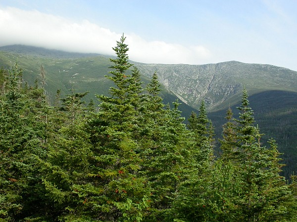
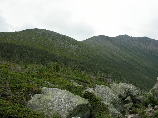
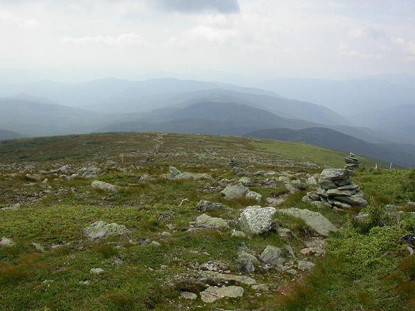
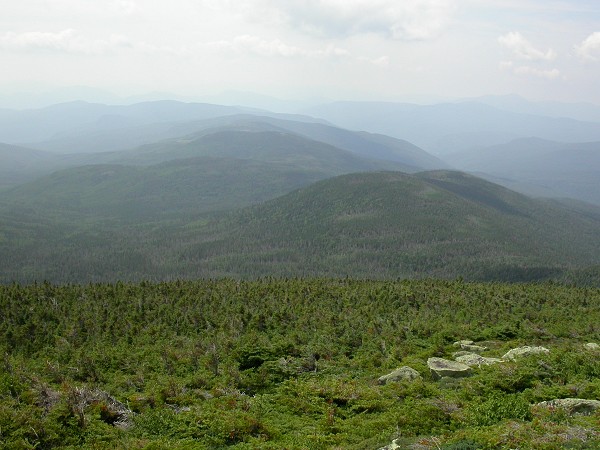
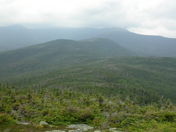
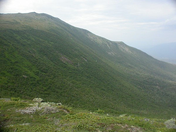
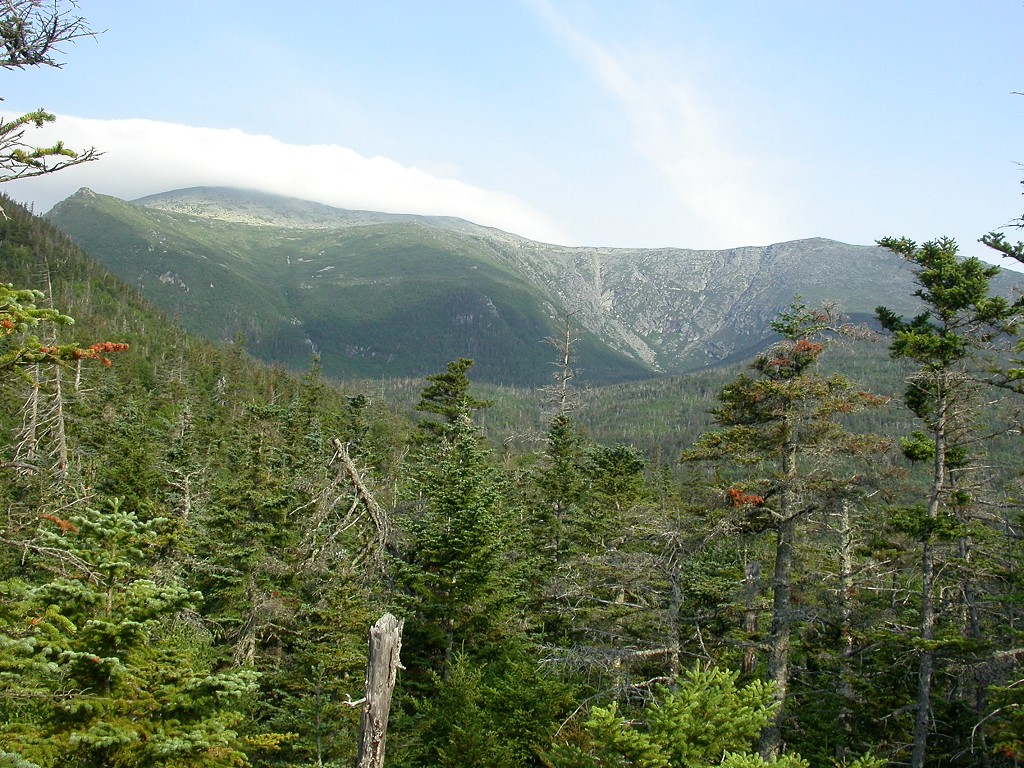
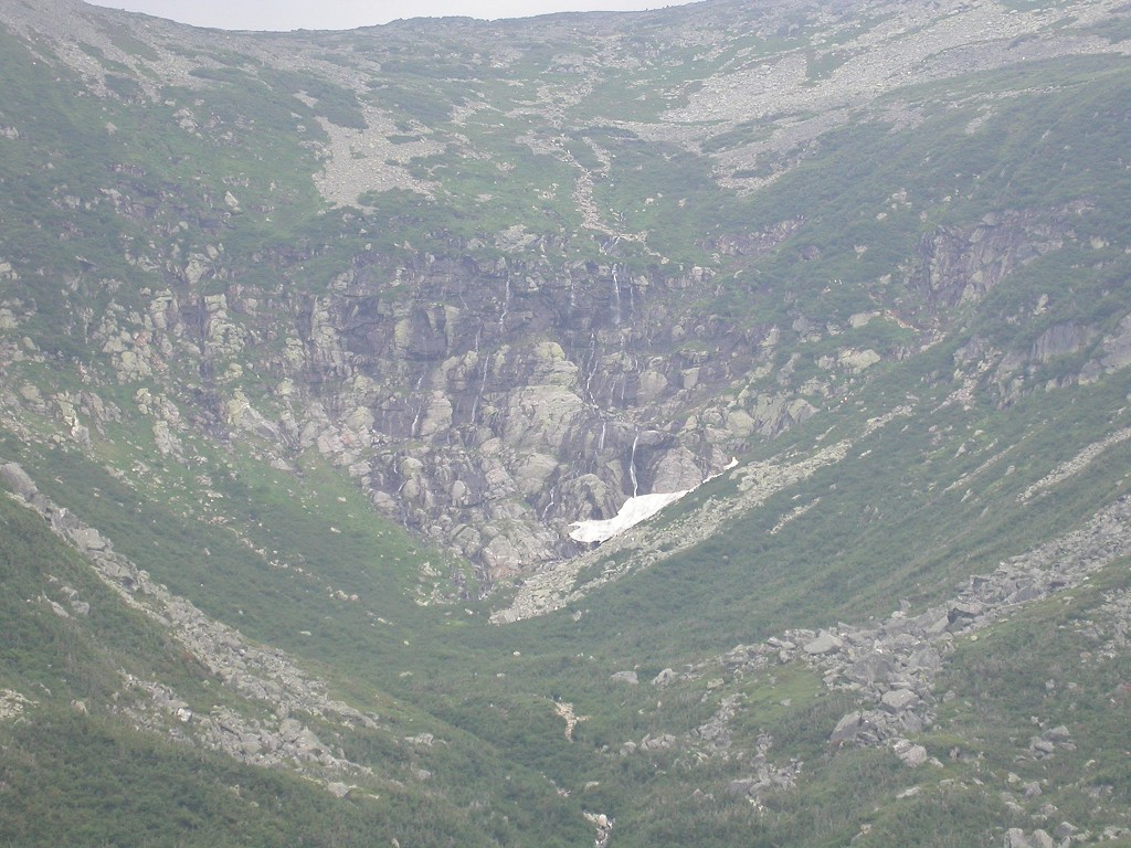
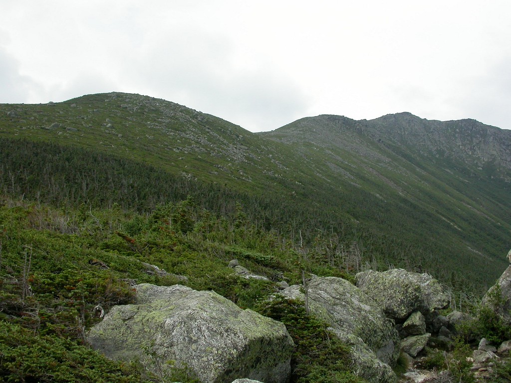
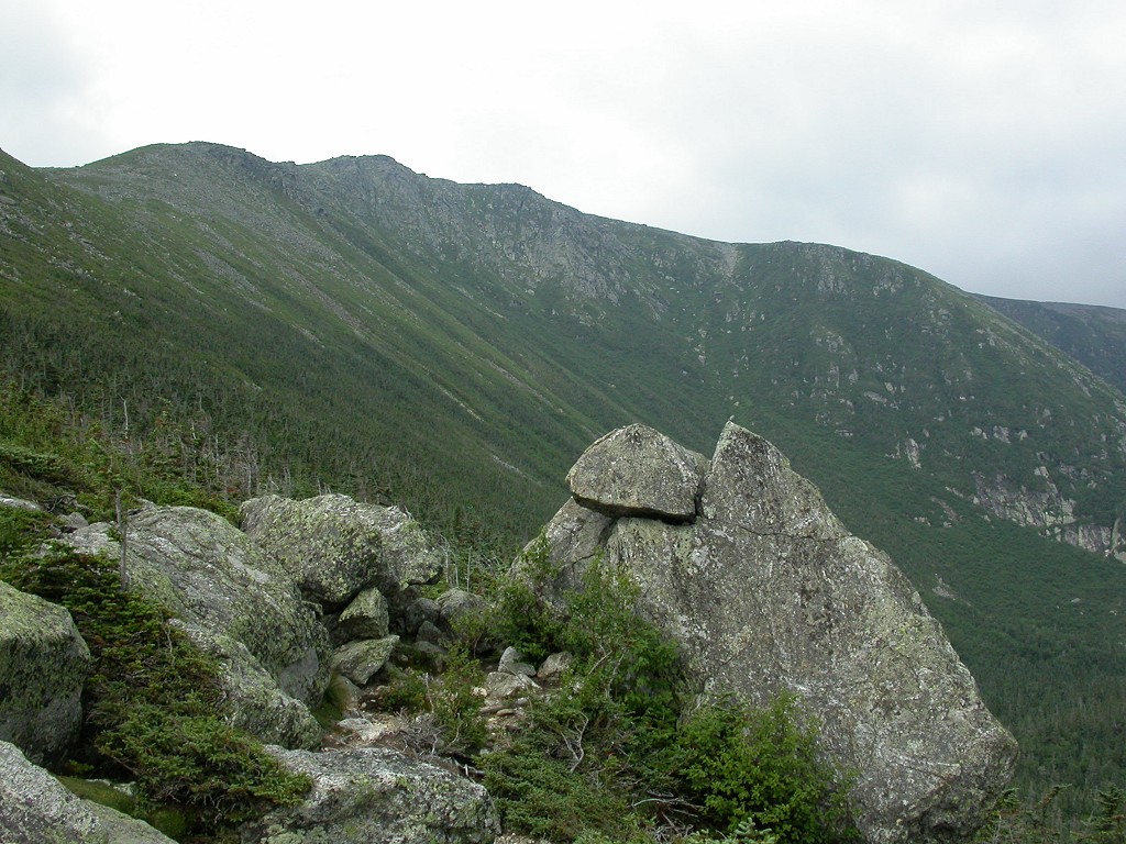
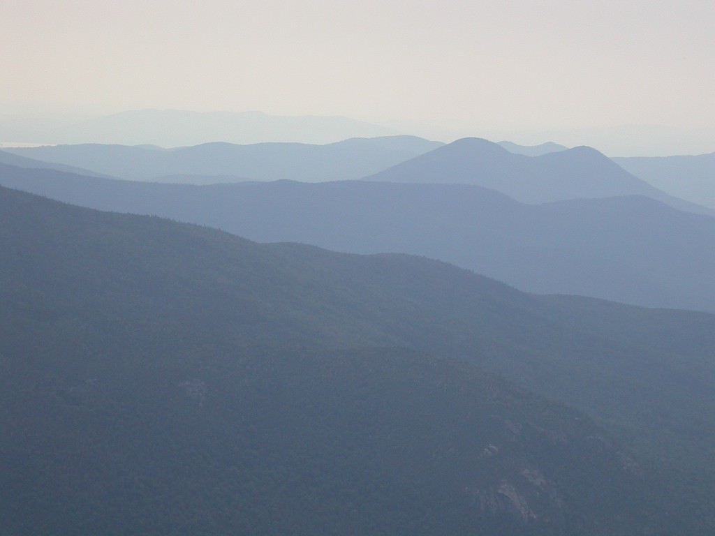
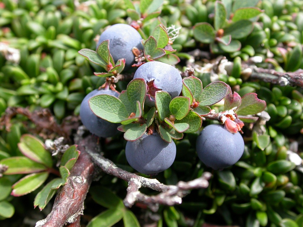
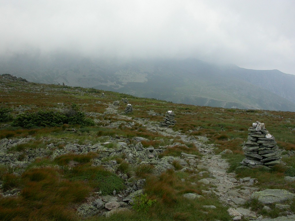
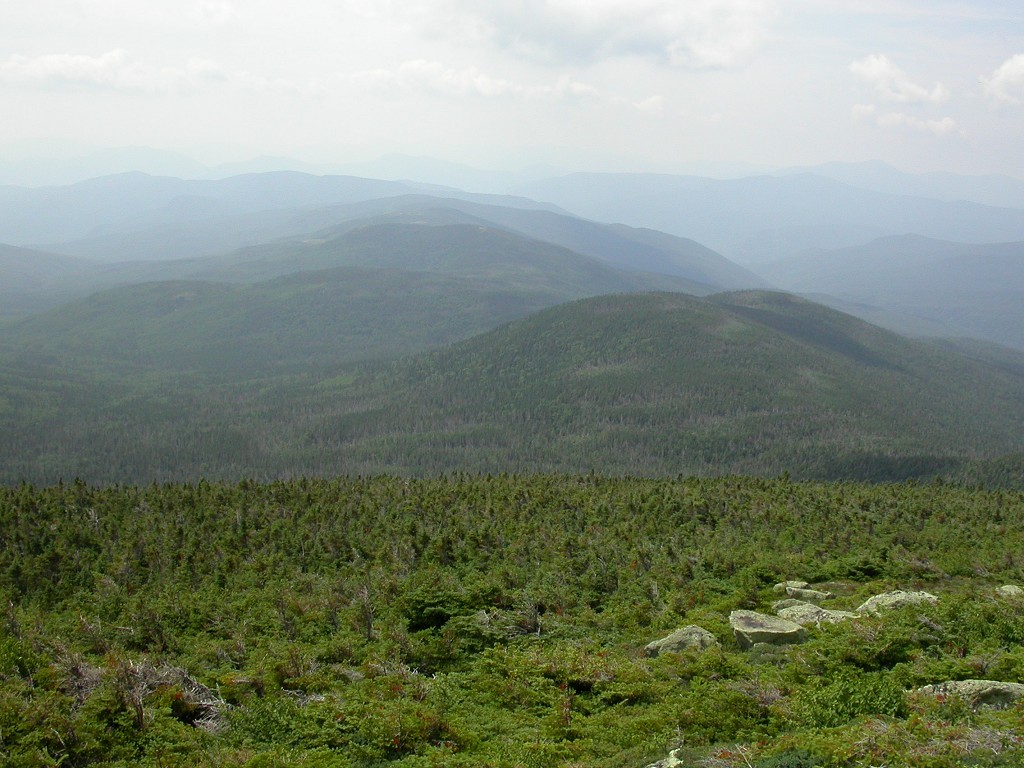
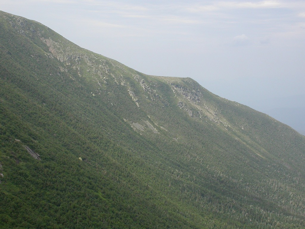
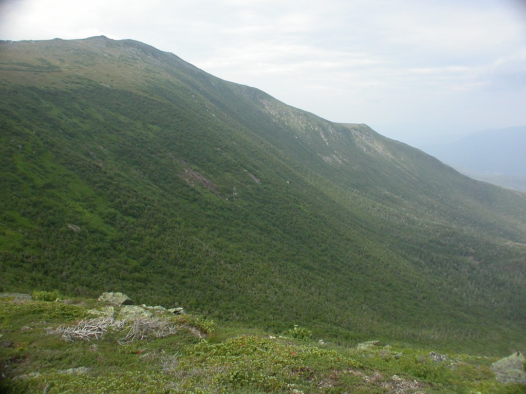
The climb up Boott Spur was nice. It was a nice cool morning with the temperature in the mid 60s at the start. Because of the mosquito problems I had on the Mount Carrigain hike the prior week, I decided to pick up some bug spray at the Pinkham Notch store just prior to the start of the hike. Of course because I did this there was not a mosquito to be seen so I never even used the stuff. I remember hearing one buzz me somewhere along the last mile or so of trail at the end of the day and I thought I might finally need to use it but I still never ended up seeing one so I didn't. The Boott Spur Trail winds its way through the forest and does not climb very much at the start. There are a few nice overlooks along the way where there are some clearings and you get some awesome views of the surrounding terrain. Once the trail finally breaks out above the tree line the views are no less than magnificent.
|
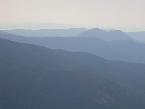
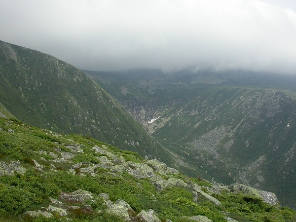
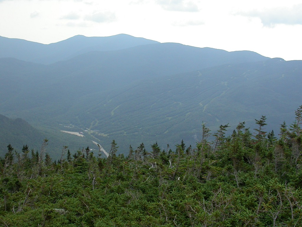
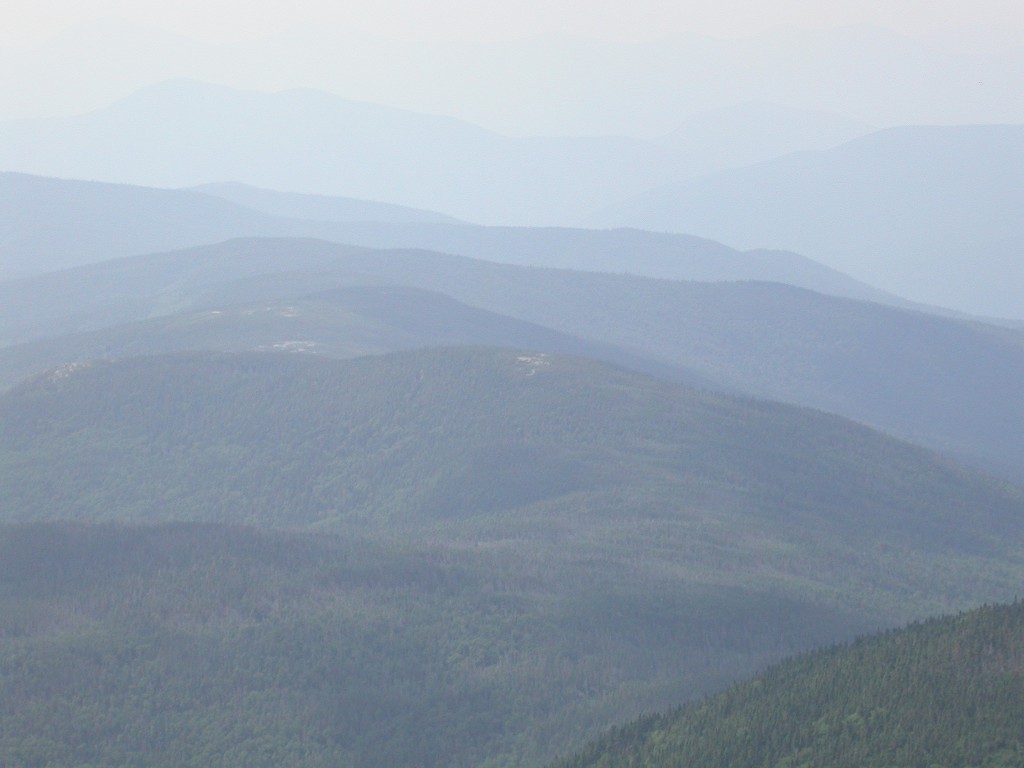
I became a little concerned about the weather after the first couple of hours as the clear morning was being consumed by clouds. It's scary being on the east side of the peaks because you can't tell what's happening on the west side. I knew there were lots of clouds over there because the summit of Mount Washington was socked in by them and you could see them spilling over the ridge and down along the eastern slopes. Weather forecasts for the mountains are pretty much useless as big mountains tend to make their own weather and that's exactly what was happening. I was prepared for just about any contingency (short of a blizzard -- which would be unlikely) so I was not too worried.
|
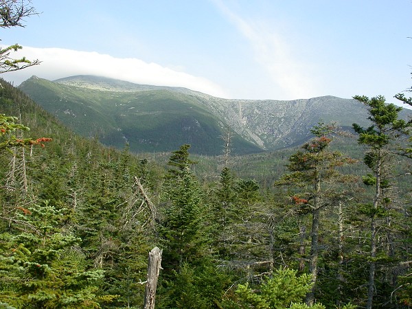
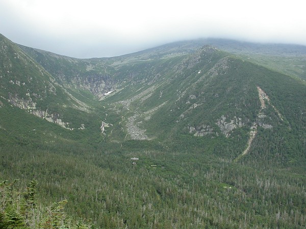
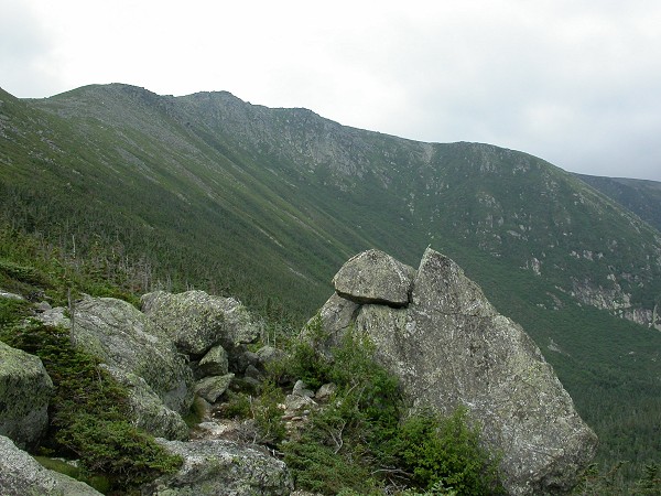
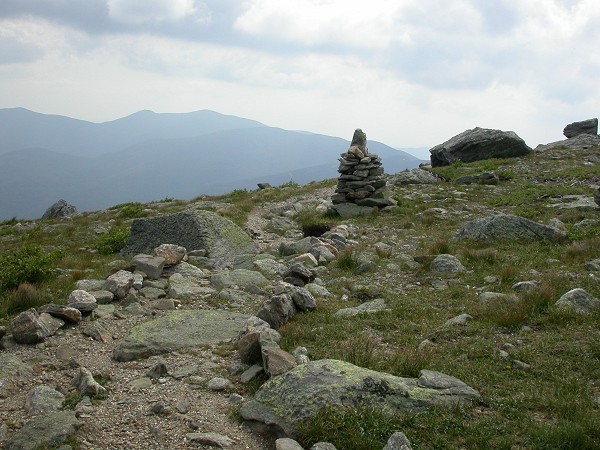
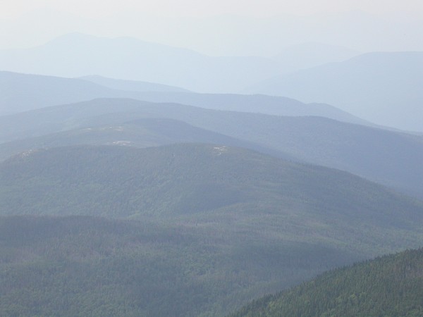
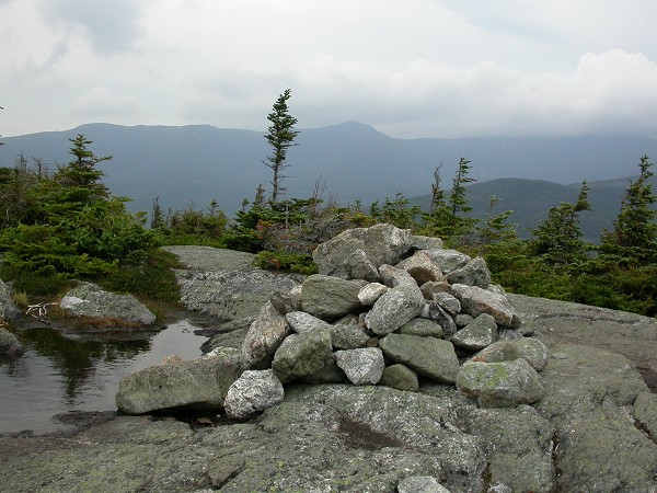
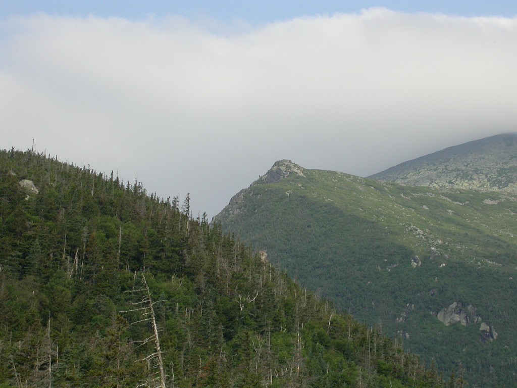
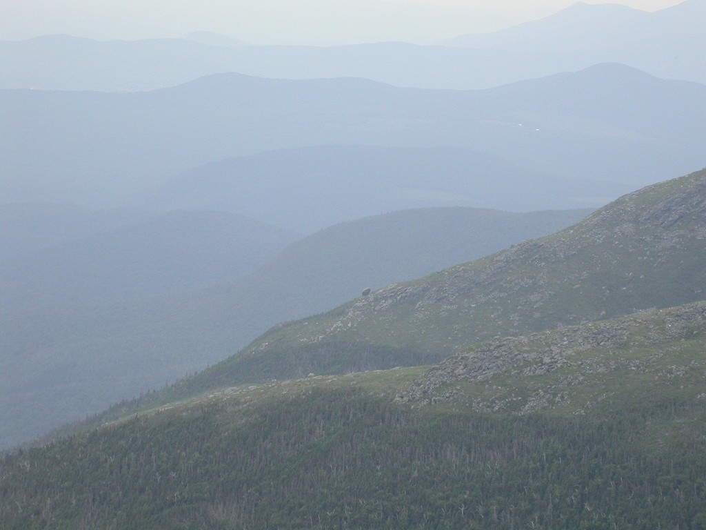
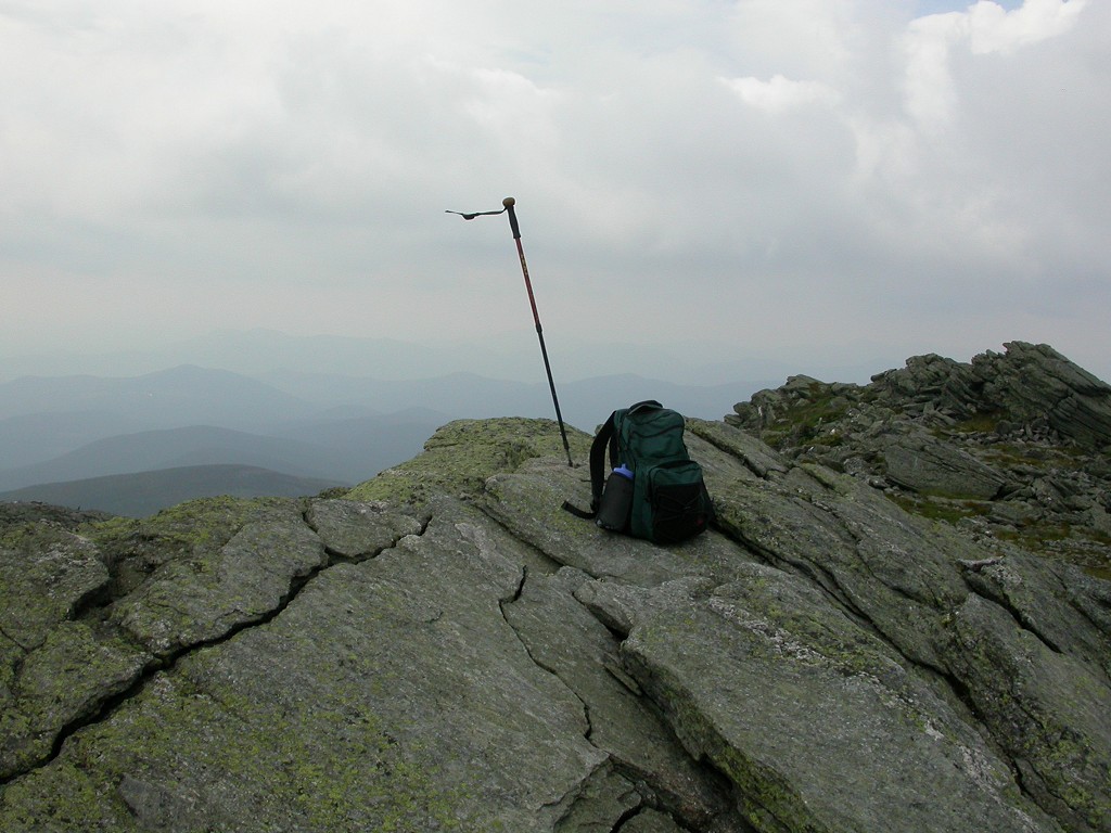
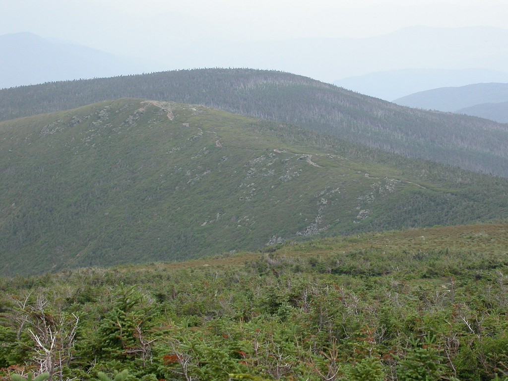
The final climb to the summit of Boott Spur was the real kick ass part of the hike. This section of the trail is steep and very rocky and you have to pick your footing very carefully. I was trying not to rush it too much because I did not want to be exhausted at the top of this section of the trail knowing that I still had 10 or 11 miles to go. Part of me was worried about that too because I knew I couldn't go too slow and finish all 14 miles before it got dark. I did not have a flashlight with me so I was not prepared for that option. I needed to keep track of the time and force myself to start back with enough time to spare. I set a limit of 1pm for the summit of Mount Isolation. If the clock hit 1pm and I was not there (or at least close... very close) I would turn around and start back. Since it took me almost 3˝ hours to climb to the top of Boott Spur I considered this a distinct possibility. I could just barely make out the summit of Mount Isolation though the haze and it looked to be an awfully long way away.
|
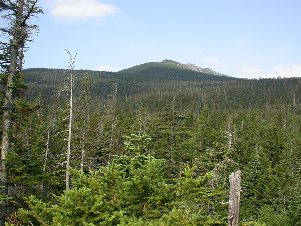
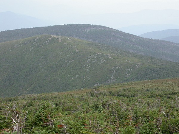
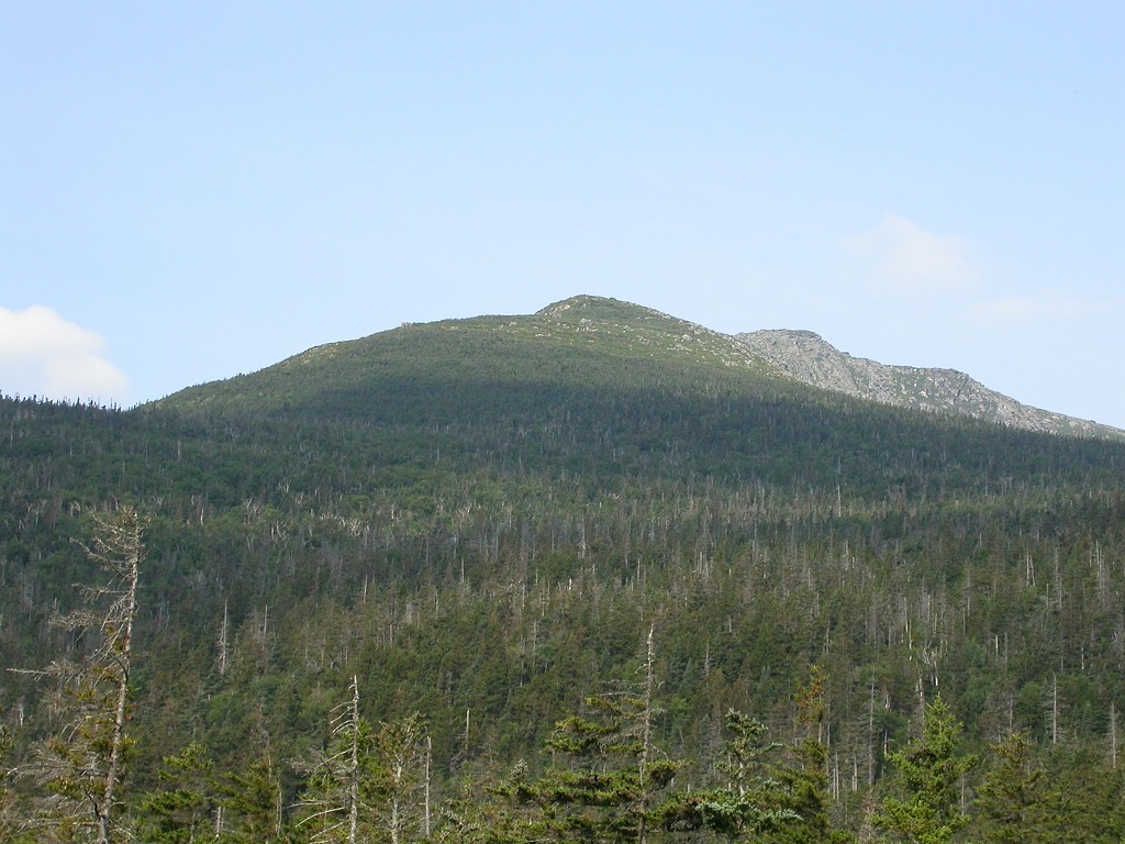
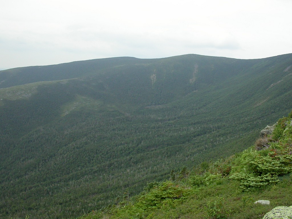
The 3 miles to the summit of Mount Isolation were covered in just about 2 hours though and I was on the top at 12:40. I was very happy that I did not have to turn back. I had plenty of time to take a short rest, eat some lunch, take some photos and just enjoy the view. There were actually a handful of other people up there which I found a little surprising considering how isolated this peak really is. Great minds think alike I guess.
|
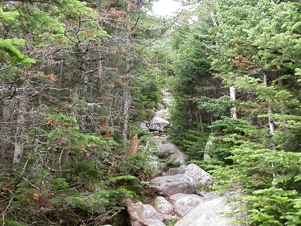
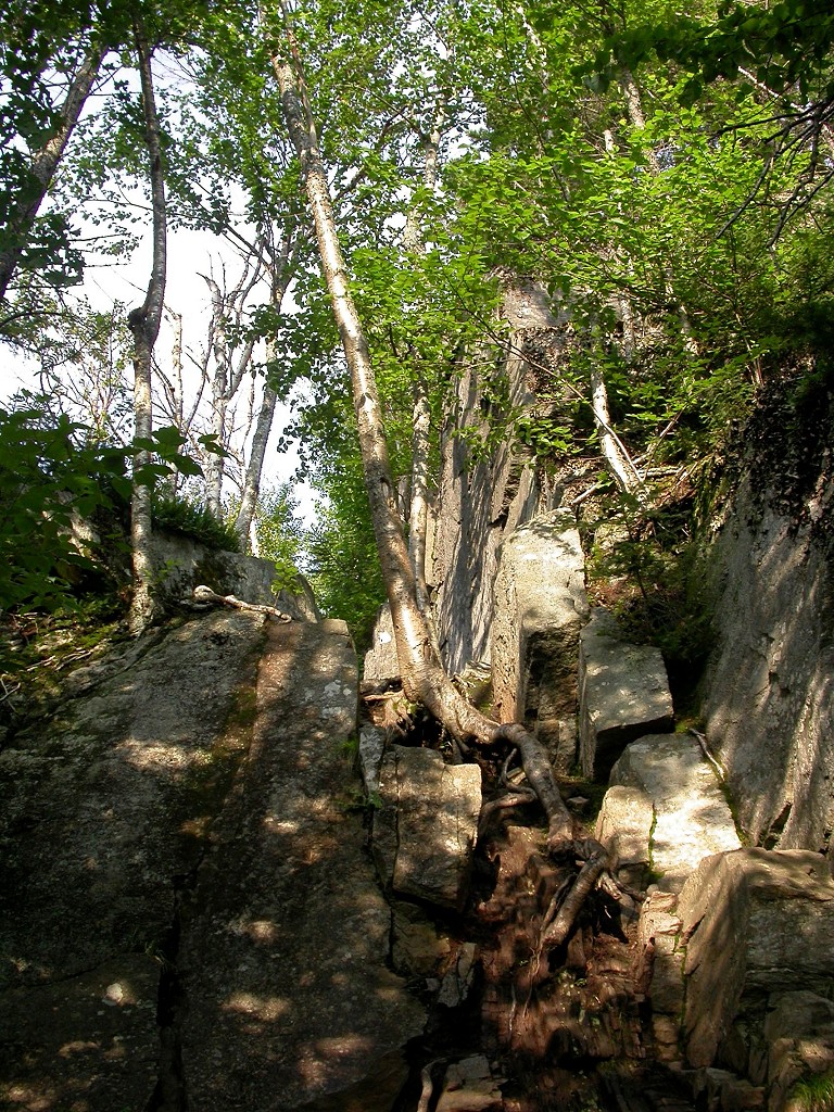
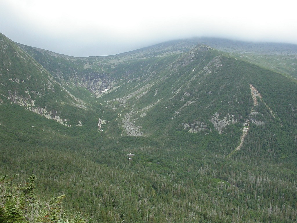
Getting back to the junction for the Glen Boulder Trail took another 2 hours. I left the summit of Mount Isolation just after 1 pm and arrived at junction a little before 3. Everything was going pretty well but I still the 3+ mile descent to do back to Pinkham Notch and then a little more than ˝ mile along the highway back to where my car was parked. I thought I was going to be able to do this descent in about 2 hours but I was gravely mistaken. The top part of the trail is not that bad and it pretty much just follows the ridge line. When it finally does start down it is pure nastiness, similar to what I encountered coming up to the top of Boott Spur but now in reverse. I always have a more difficult time with rough downhill sections of trail than rough uphill sections. It’s a lot easier to climb going up than down.
|
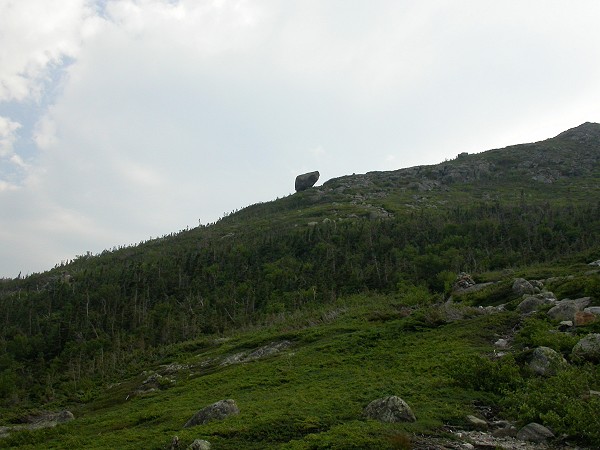
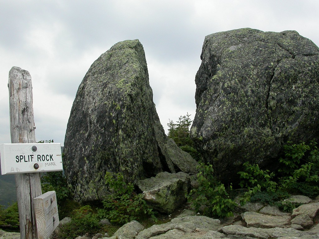
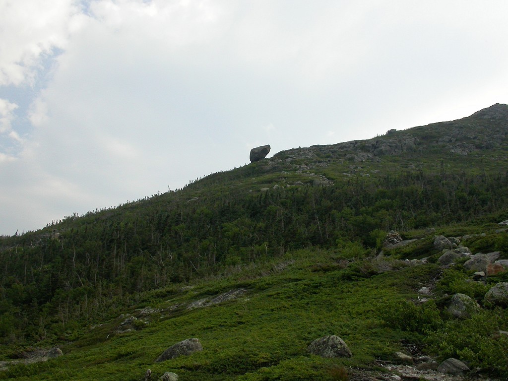
So it was a very slow and time consuming descent and I seemed to be getting nowhere. I kept waiting to see Glen Boulder because I knew that it marked just about the half-way point in the descent. I kept going and going and at one point I managed to convince myself that I somehow passed it. Perhaps it wasn't right on the main trail and I missed the turn-off to it? That had me pissed but I also very much wanted to be below that point because this was just taking for-ever. I was both happy and slightly depressed when I saw Glen Boulder come into view a couple hundred feet below me. I was glad that I hadn't missed it since it was part of the reason for wanting to come down on this trail. But, I was also very annoyed than I had not even reached the halfway point in the trail. Yeah, I was getting tired. No blisters, no aching muscles, no pain of any kind... just tired. I had stopped along the ridge on the upper section of trail and ate some more food and then I stopped again at Glen Boulder and finished off the remainder of my food and most of my water. I only had about 2 miles left to go and the last ˝ mile along the highway would be a breeze, so...
|
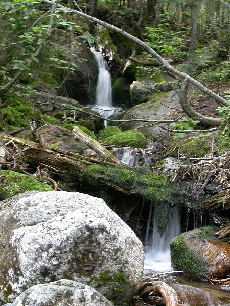
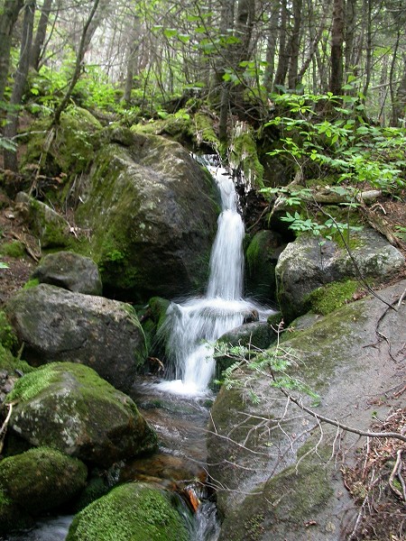
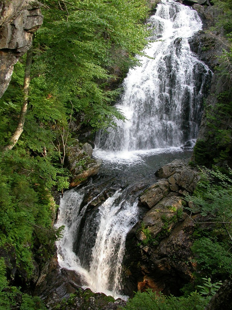
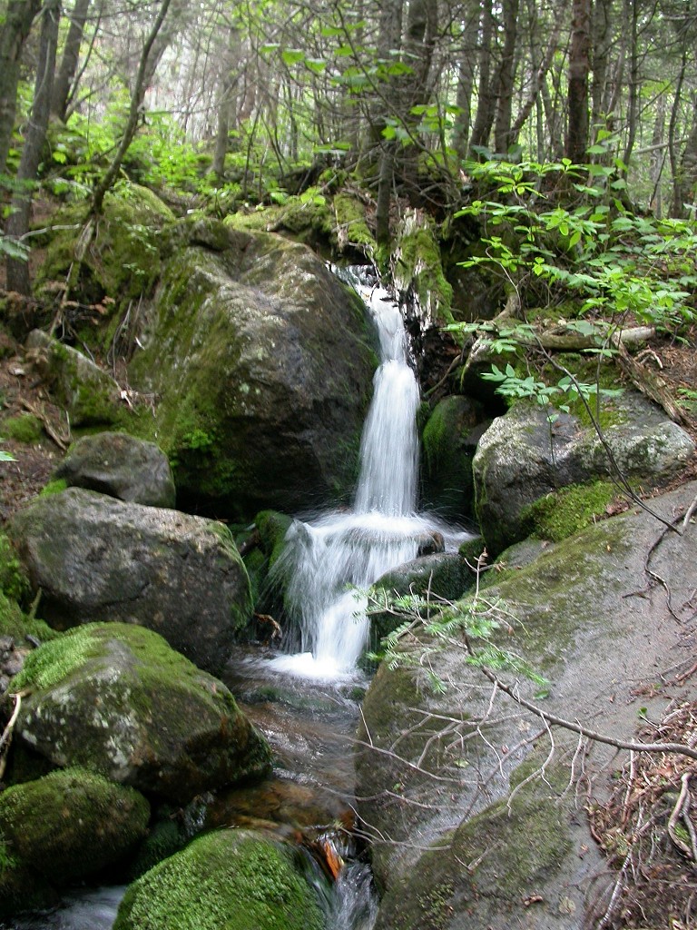
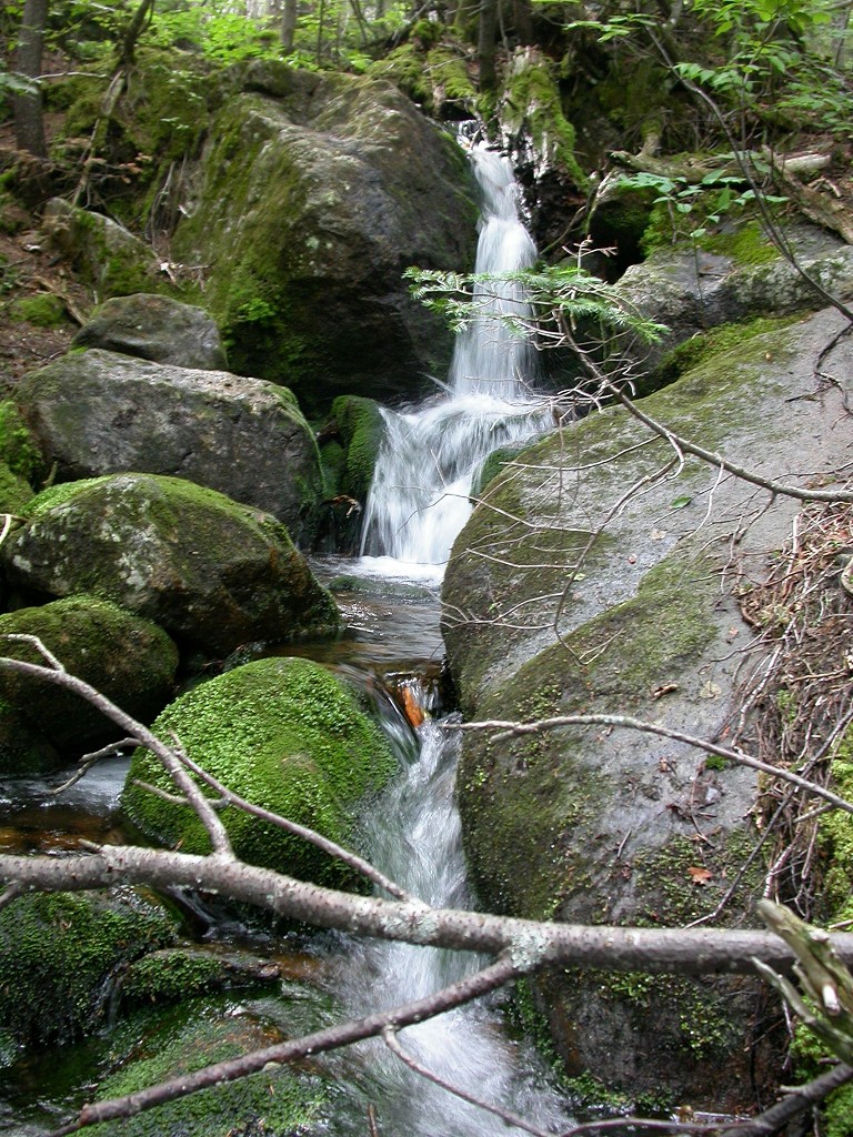
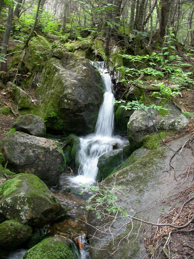
And on and on the trail dragged. Once the trail went back below the tree line again it got warm and humid and that did not help in the least. No matter how nice of a hike it has been that last mile or so really drags on... and on... and on. I was very happy when I finally came to the stream crossing as I knew I was getting close and was now less than a mile from the highway. The stream was icy cold and clear and I took a short break to soak my facecloth and was off some of the sweaty grime that had been building up. It felt good. I also took some pix of a little waterfall that was flowing just above the stream crossing. I drank the remainder of my water and became slightly pissed that there was all of this water flowing here that I could not drink. I never remember to bring my water filter with me on day hikes and I frequently wish I did. I was not about to risk a giardia infection this close to the end of the trail... I was not that bad off.
|
So on I went... and on... and on. Finally I met some people coming up the trail and I knew they were not hikers and so I must be getting close to the parking lot. Yay! At 5:45 I got there and I was very relieved. The last ˝ mile back along the highway to where my car was took another 15 minutes and I arrived there at just before 6 pm. The total hiking time was 10 hours and 40 minutes for 14 miles.
It felt so good to get the hiking boots off and put sneakers back on. I also had a dry T-shirt with me and put that on. I had stripped the zip-off legs off of my hiking pants for the trip down the mountain and decided to keep those on rather that change into my jeans. I tried to call Robin to tell her that I was done and on my way back but there was no cell reception where I was. I started back and called her from the parking lot of a Dairy Queen in Gorham. Yeah, nothing tastes good as ice cream at the end of a long and grueling hike. I had a Strawberry Cheese Quake Blizzard and I relished upon every spoonful.
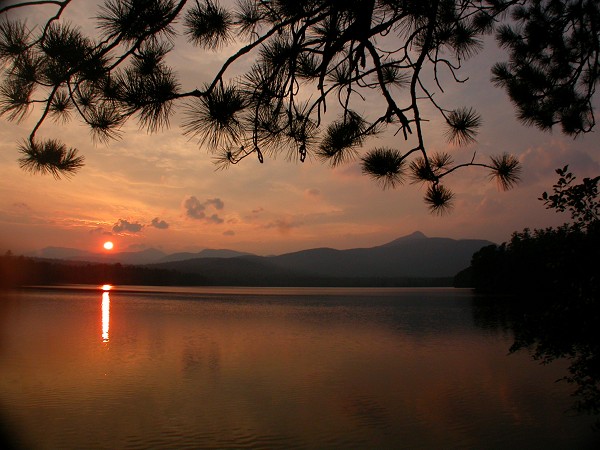
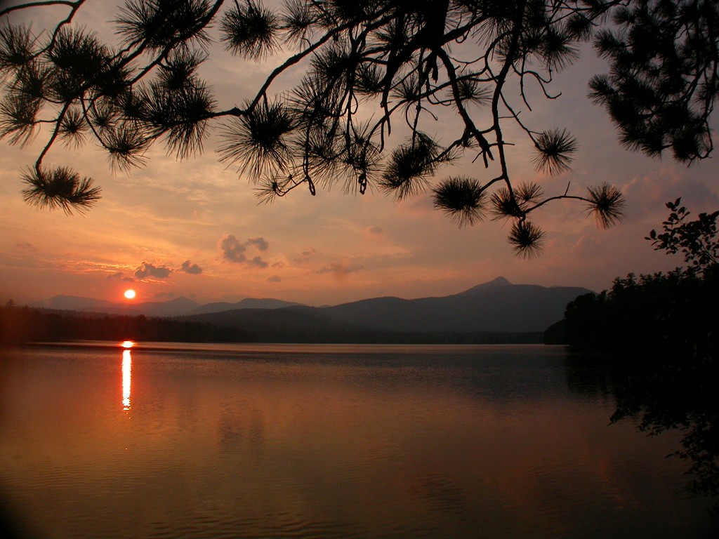
I hit massive traffic going back through North Conway but I should not have expected less on a Saturday afternoon in the middle of the summer. But because of that traffic I ended up going past Lake Chocorua just as the sun was setting... so, yeah... the perfect ending to the perfect day. Life is good and the gods seem to look upon me with favor.
|
|
|
|---|
|
|---|


