|
Mount Tom, Mount Field, Mount Willey and Mount Avalon via Mount Avalon and Willey Range Trails |
|---|
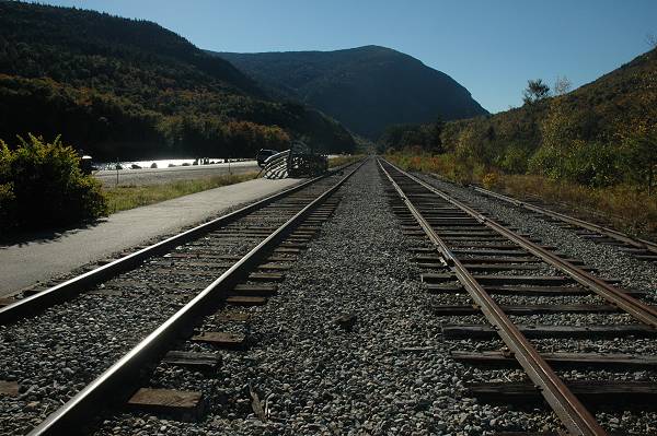
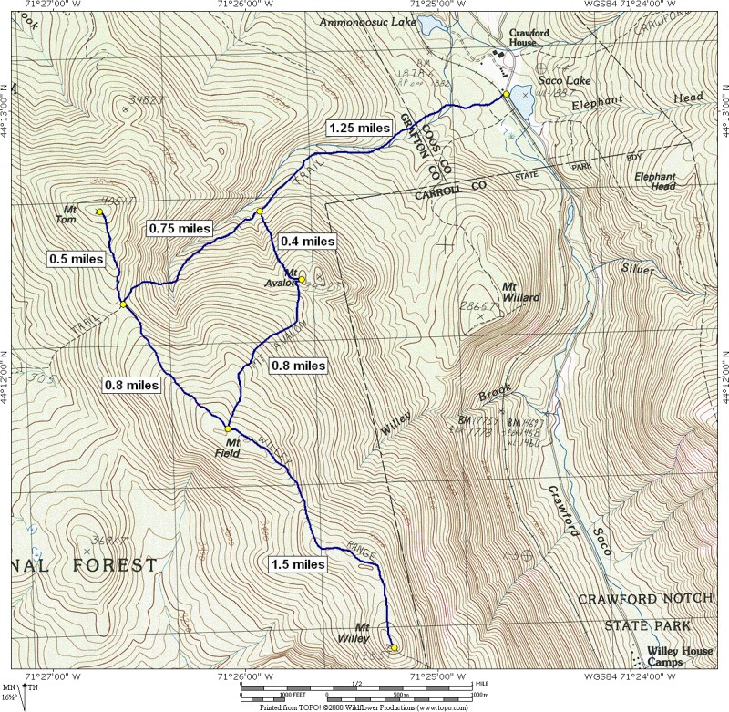
This day hike involved going up the Mount Avalon Trail to its junction with the A-Z Trail and then taking that up to the Willey Range Trail. Once on the Willey Range Trail I first headed north to the summit of Mount Tom and then south to the summits of Mount Field and Mount Willey. On the return trip I left the Willey Range Trail at Mount Field and went down from there via the Mount Avalon Trail stopping briefly at the summit of Mount Avalon and then continuing down to the railroad depot at Crawford Notch. The total hiking distance of around 9¼ miles made this a somewhat long day hike but there was nothing particularly challenging about it, except a few spots on the descent of the Avalon Trail.
|
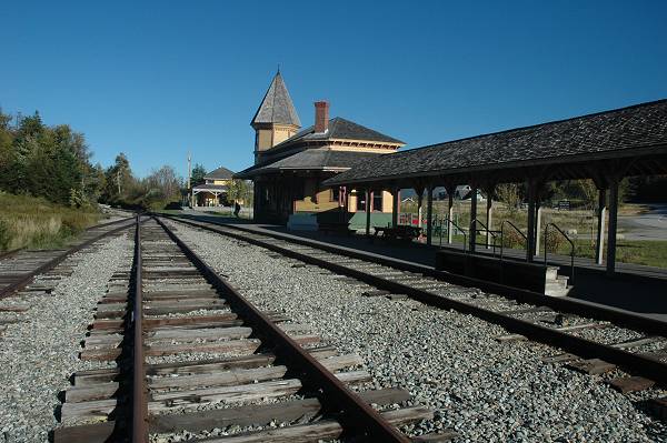
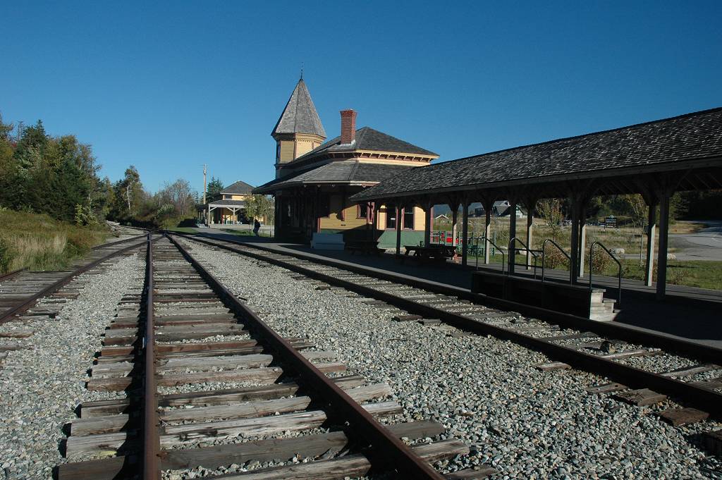
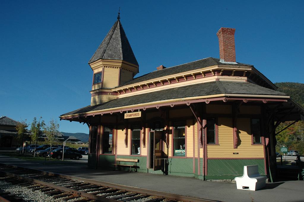
The starting point for this hike was the parking lot near the railroad depot at Crawford Notch.
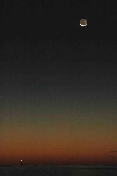
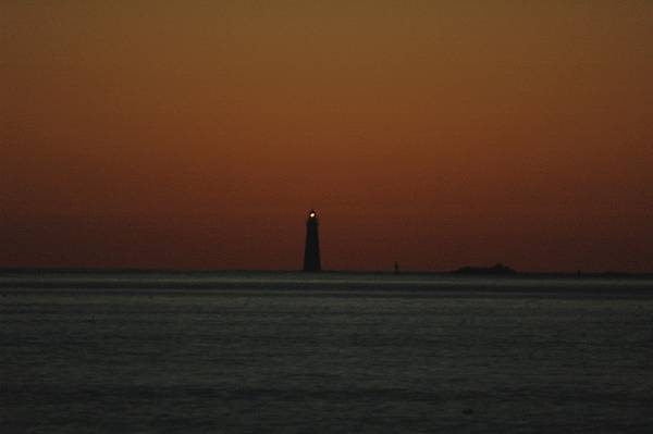
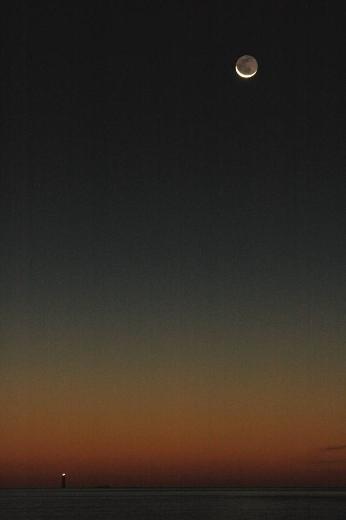
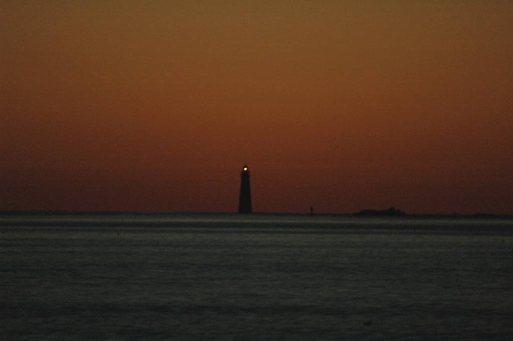
I was up VERY early, 4:30 am, and went to the beach in Cohasset (Massachusetts) to see the cresent Moon come up before starting the drive up to New Hampshire.
|
I arrived at the trailhead for the Mount Avalon Trail right a little after 9 am. I spent a little time being confused by the various buildings at Crawford Notch and looking for the trail. As it turns out the trail starts right behind the railroad depot which is some distance away from the visitor center complex.
|
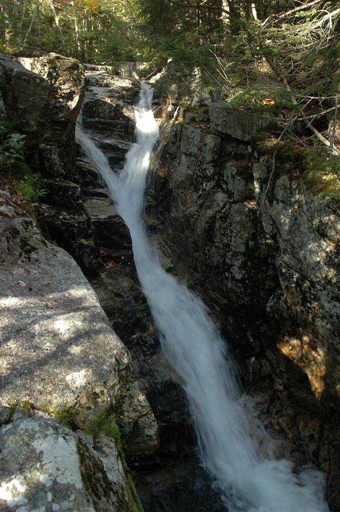
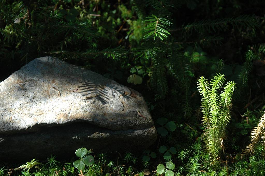
The lower portion of the Mount Avalon Trail was very nice and, as I would later learn, in much better condition than the upper portions beyond the A-Z Trail. There are a couple of creek crossings along the way and a nice little waterfall just below the second one. I startup up at around 9:10, reached the A-Z Trail just before 10 and was at the Willey Range Trail around 10:30.
|
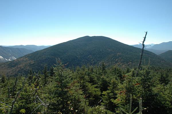
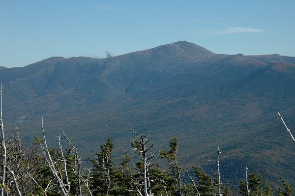
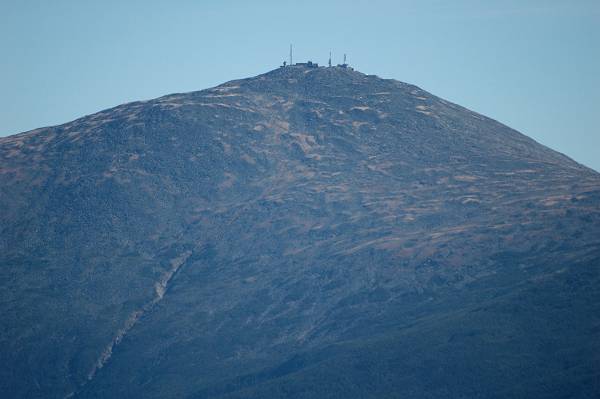
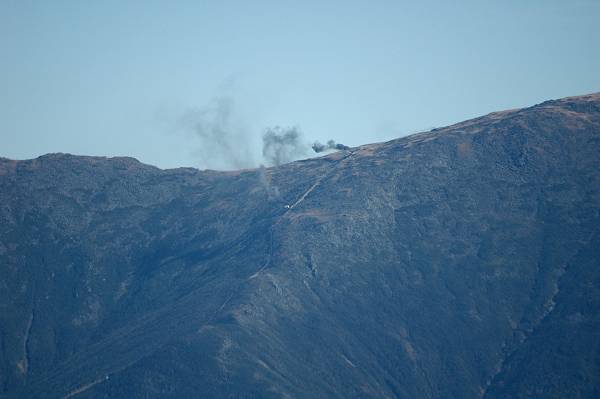
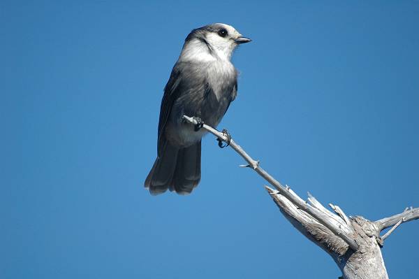
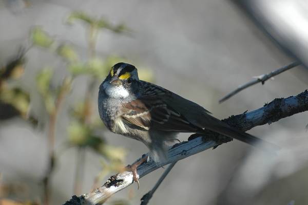
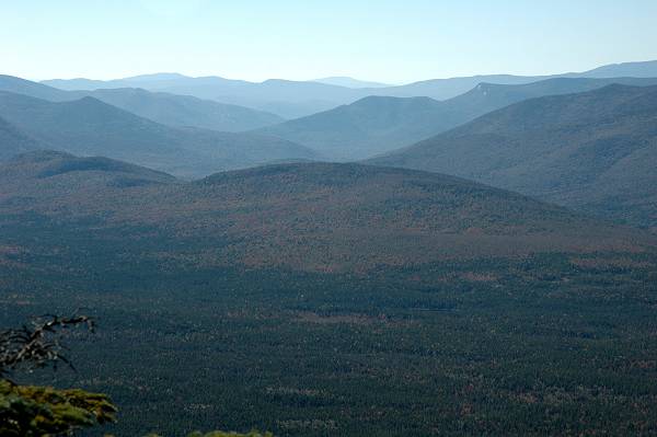
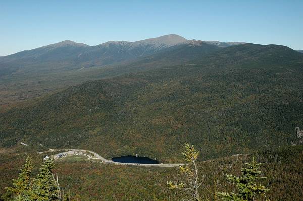
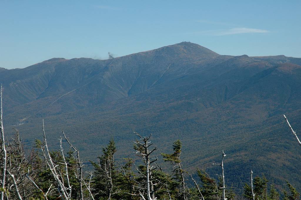
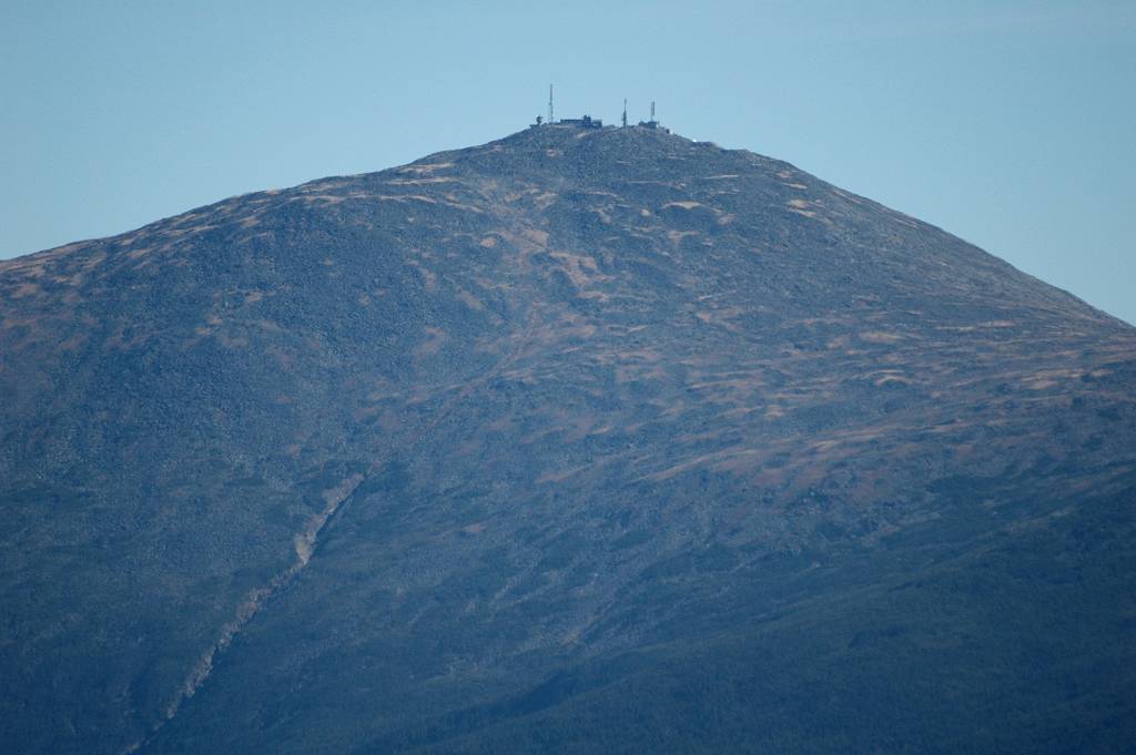
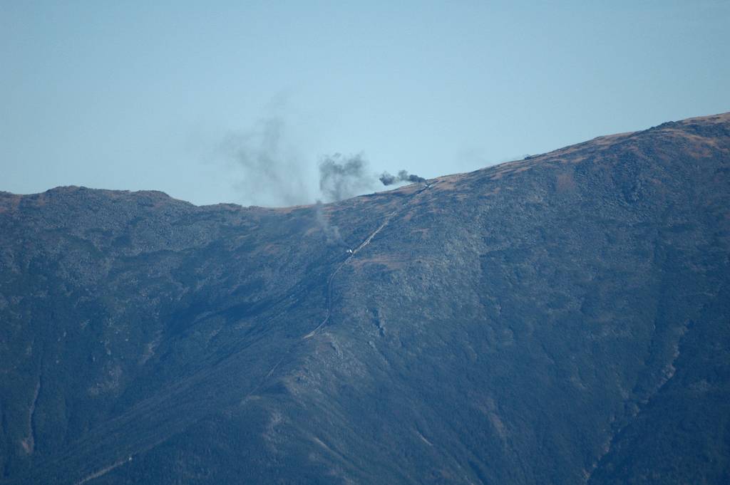
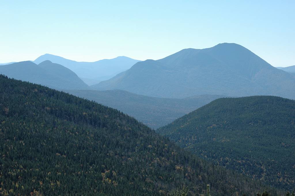
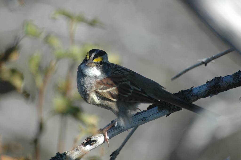
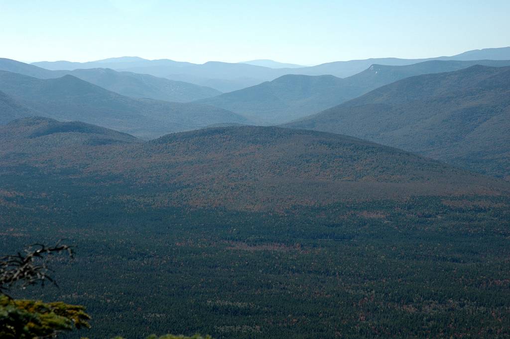
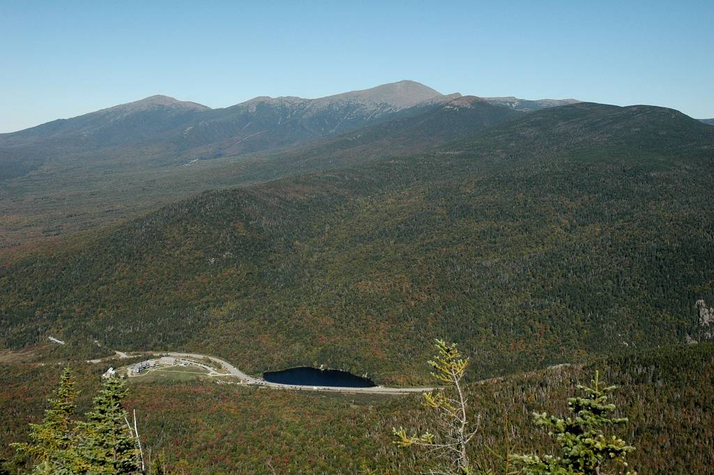
I was on top of Mount Tom just before 11 and ended up having a late breakfast up there. The only good views were off to the east side but they were very good views, of Mount Washington and the southern portion of the Presidential Range. The actual summit is wooded and there is no view at all from there. There were a few other people on the summit when I got there as well as a pair of Canada Jays that were quite entertaining. I also saw a White-throated Sparrow.
|
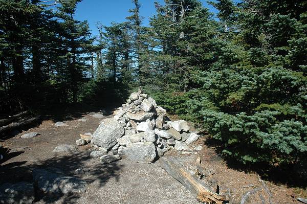
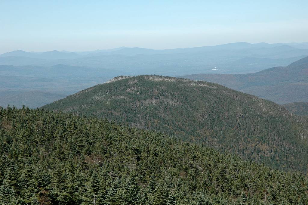
I left Mount Tom about 11:10 and was on the summit of Mount Field around 12:10. The Mount Field summit is also wooded and there are no view from it. There is a viewpoint to the northeast from where you can get a good view of Mount Tom and Crawford Notch. I took a short break at the summit cairn and finished off the rest of my breakfast food for lunch before starting for Mount Willey.
|
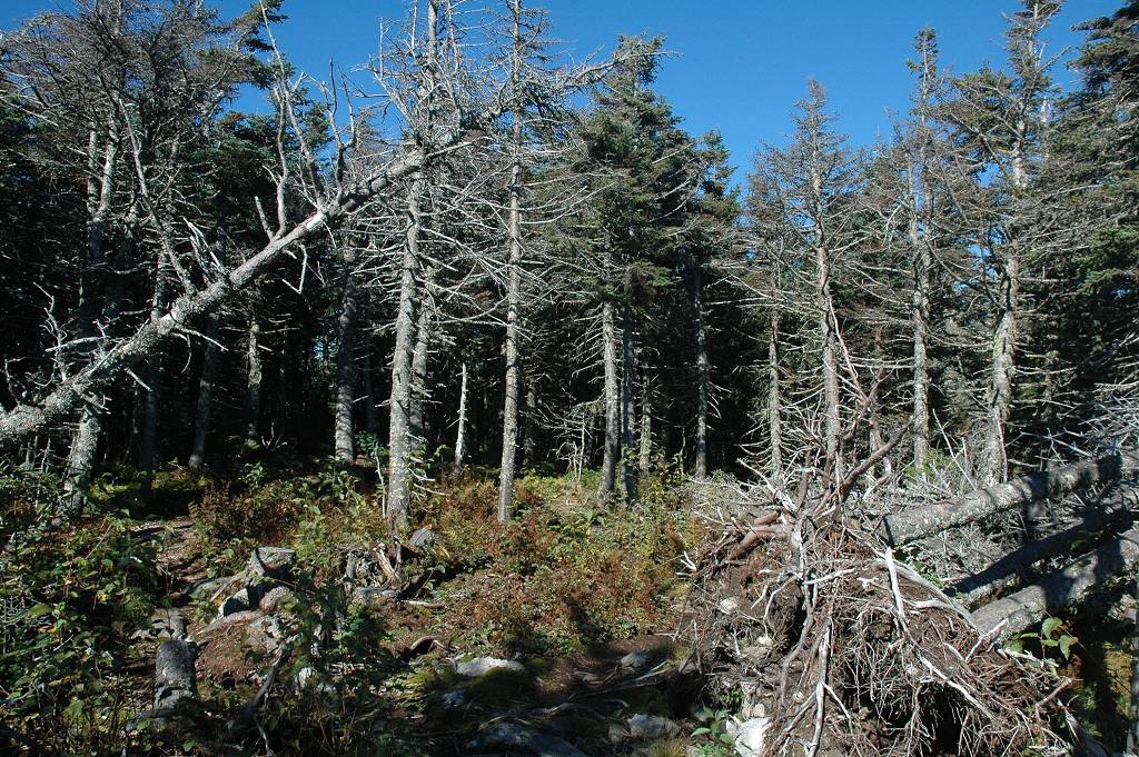
I left the summut of Mount Field around 12:30 and arrived at Mount Willey around 1:15. The hike from Mount Field to Mount Willey was very pleasant and some sections of the trail that passed through the more dense forest sections were quite scenic.
|
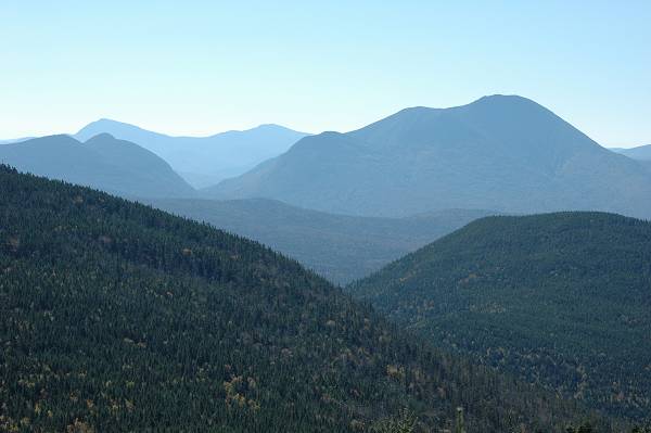
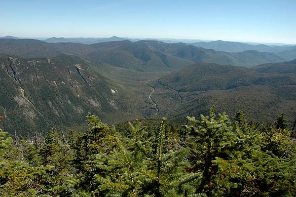
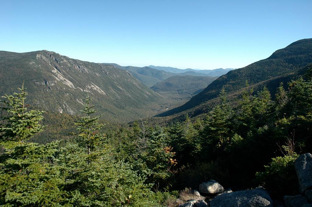
The summit of Mount Willey was also wooded but again there is a viewpoint to the east with a good view of the Presidential Range and Crawford Notch. There was also a pretty good view of the Pegigewassett Wilderness off to the south from one point just below the summit on the way up.
|
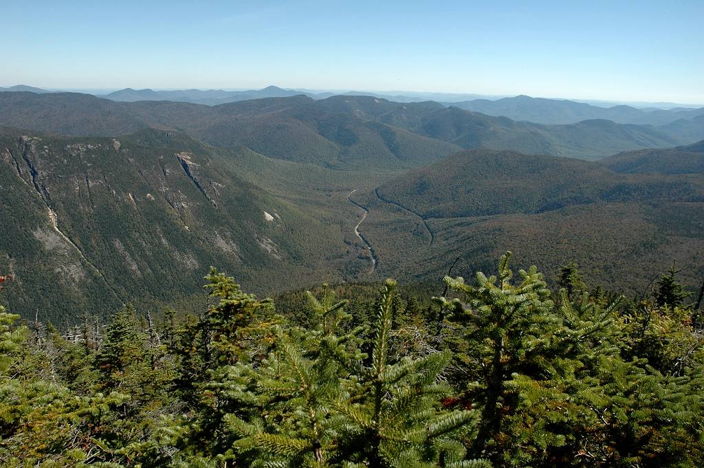
I left Mount Willey around 1:30 and headed back to Mount Field to begin the hike down from there via the Mount Avalon Trail. The upper portions of the Mount Avalon Trail were not so bad but there were a couple of steeper sections with some loose rock. I stopped briefly on Mount Avalon to take some photos but did not stay long. Mount Avalon does not really give much of a summit feeling and it's more just like a big dimple on the side of Mount Field. It does afford some very fine views of the Presidential Range and Crawford Notch that are very different from those higher up.
|
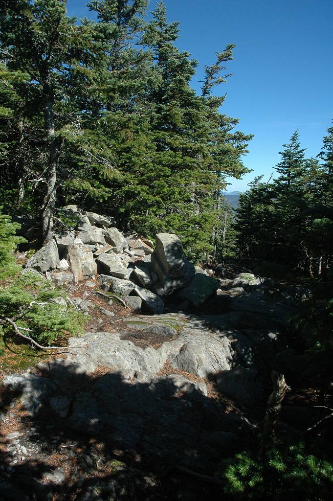
I arrived at Mount Avalon around 3:15 and only spent about 5 minutes there before resuming the hike down. The middle section of the Mount Avalon Trail between Mount Avalon and the junction with the A-Z Trail were the worst of the day. There are some very steep sections of trail in there and it was also more brushy than any of the other trail segments.
|
I arrived back at the Crawford Notch depot around 4:30. It was an awesome day up there on the Willey Range and it was a great hike. It ended up being about a mile longer than I originally thought though... closer to 10 miles than 9. It took about 7½ hours total and about an hour or so of that time was spent resting on the summits and/or taking pix. I added 3 more peaks to my NH 4000 list, and also the summit of Mount Avalon which is somewhat less. The only drawback was the final descent down the Avalon Trail, sections of which are quite nasty.
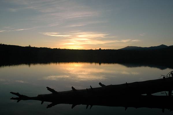
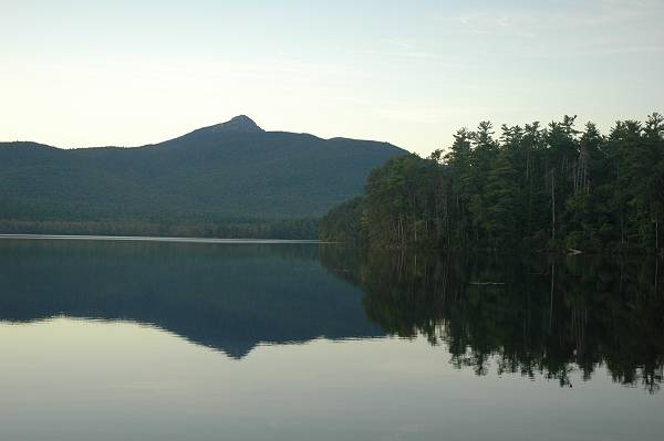
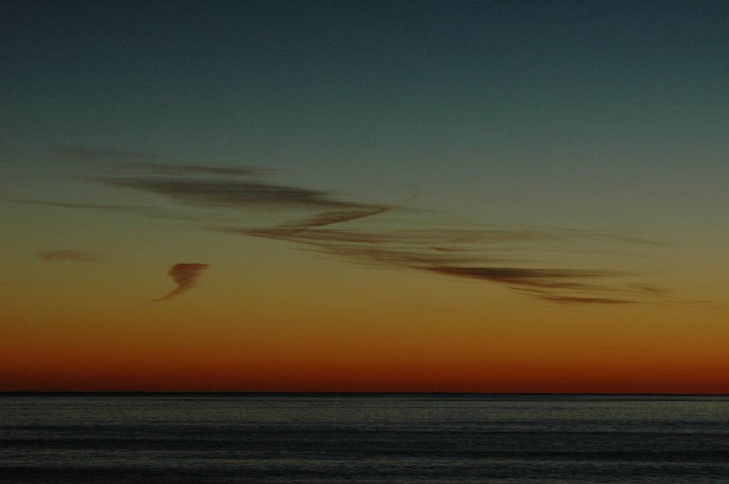
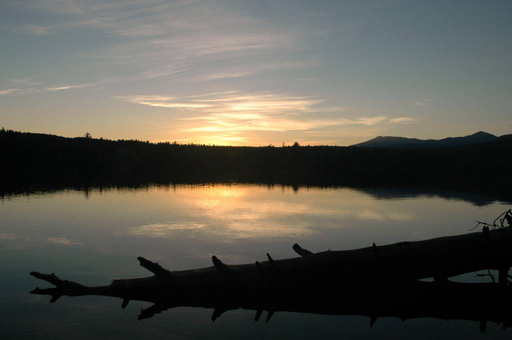
I was passing Chocorua Lake on the way home just in time for sunset so I had to stop there for a while as well.
|
|
|
|---|
|
|---|


