|
Mount Jefferson & Mount Washington day hike |
|---|
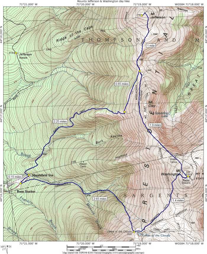
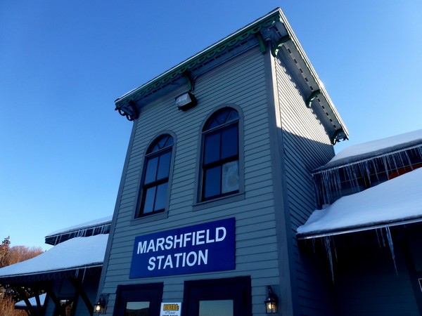
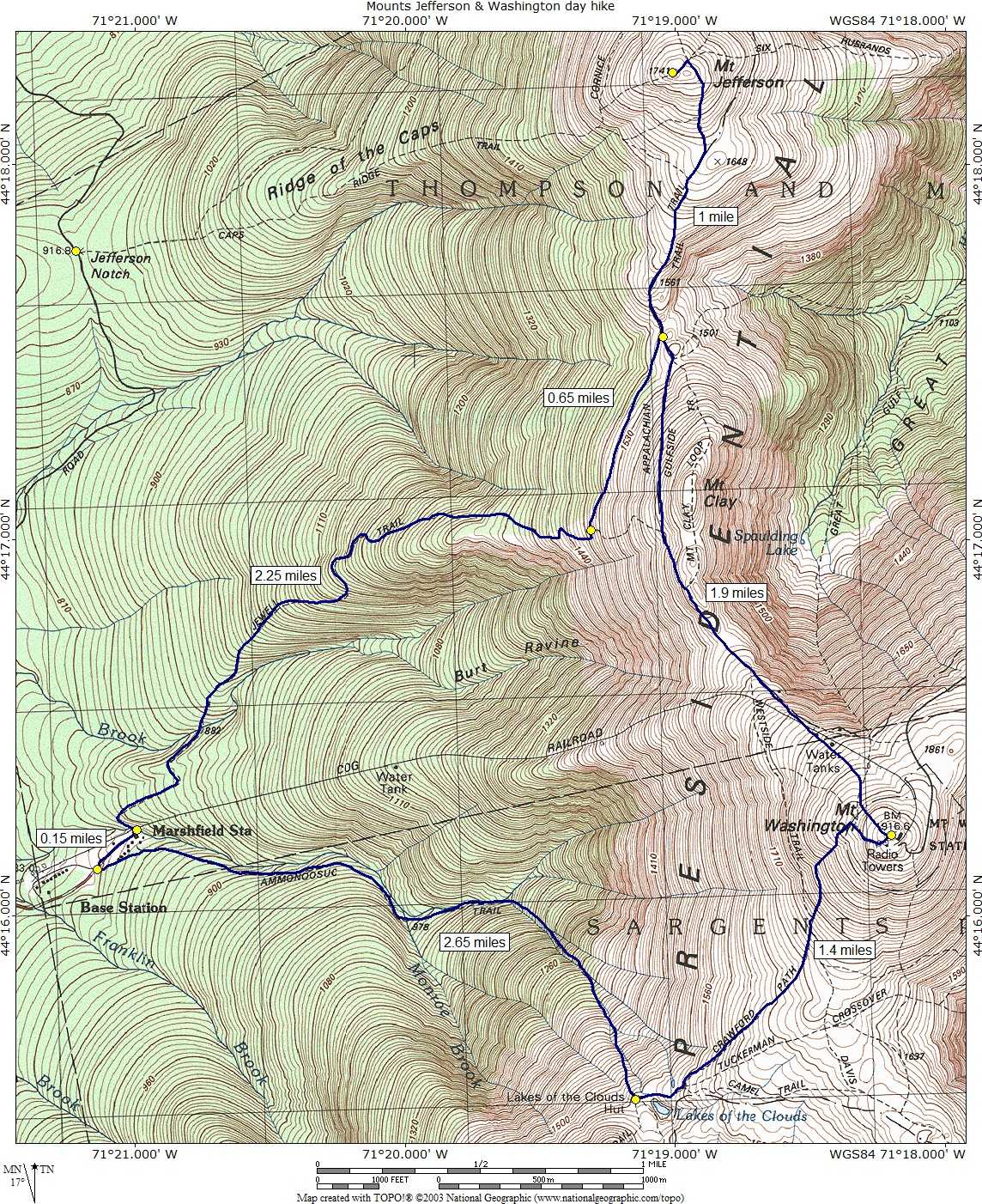
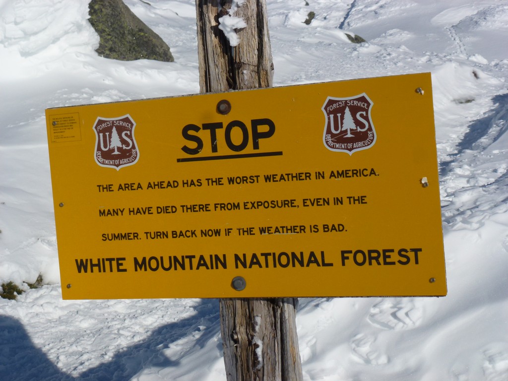
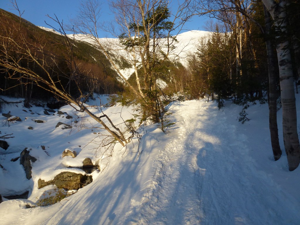
This day hike started at the parking area for the Mount Washington Cog Railroad off of Base Station Road in Bretton Woods, New Hampshire. The parking area is located right at the end of the road about 6 miles east from US Route 302. From the parking lot we followed the Jewell Trail and Jewell Trail winter bushwhack to the Great Gulf Trail to the summit of Mount Jefferson. From there we went back along the Great Gulf Trail to the summit of Mount Washington and then down the Crawford Path to the Lake of the Clouds AMC Hut. From the hut we took the Ammonoosuc Ravine Trail back to the parking area.
|
This hike was organized by a trip leader of the Random Group of Hikers Meetup group that I had done Mount Cabot with a few weeks earlier. It was, however, not an official meetup hike.
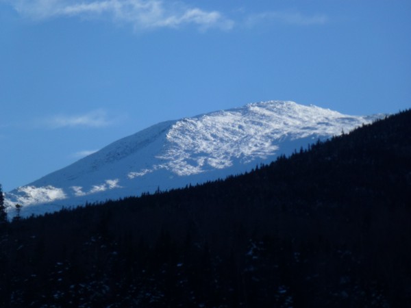
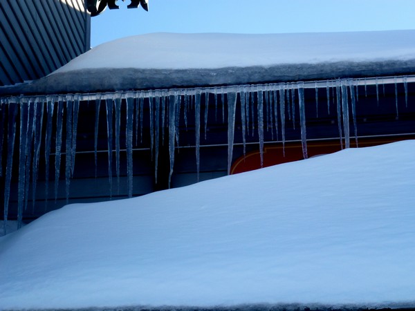
The hike started at the parking area for the Mount Washington Cog Railroad off of Base Station Road in Bretton Woods, New Hampshire. Mount Jefferson would number 33 on my New Hampshire winter 4000-footer list. We arrived at the parking area right around 7:15 and started hiking a little before 7:30. I didn't get an exact reading of the temperature at trailhead but I think it was in the low 20s. There was no wind at all so it felt pretty nice. I started hiking with just my base layer, mid layer and a light windbreaker. The weather was supposed to be gorgeous today with highs in the mid to upper 20s even on the summits, abundant sunshine and low winds. I was sure it would not be long before layers would be coming off.
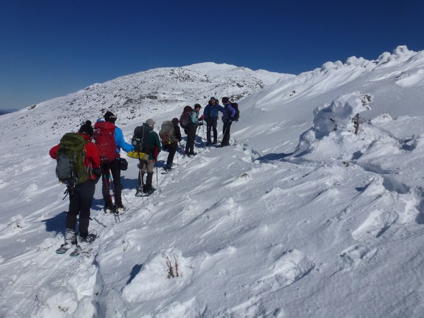
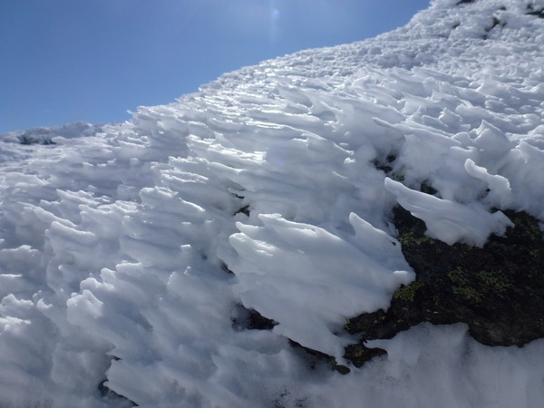
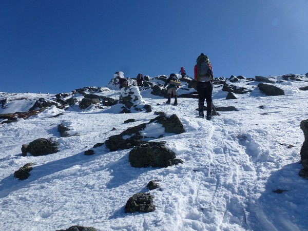
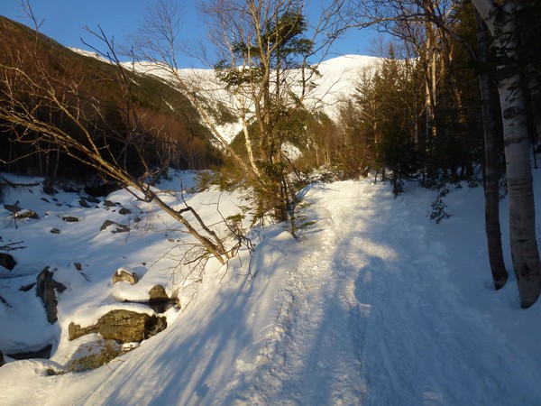
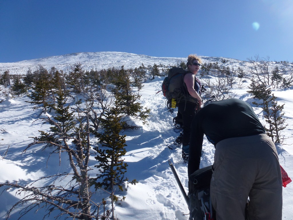
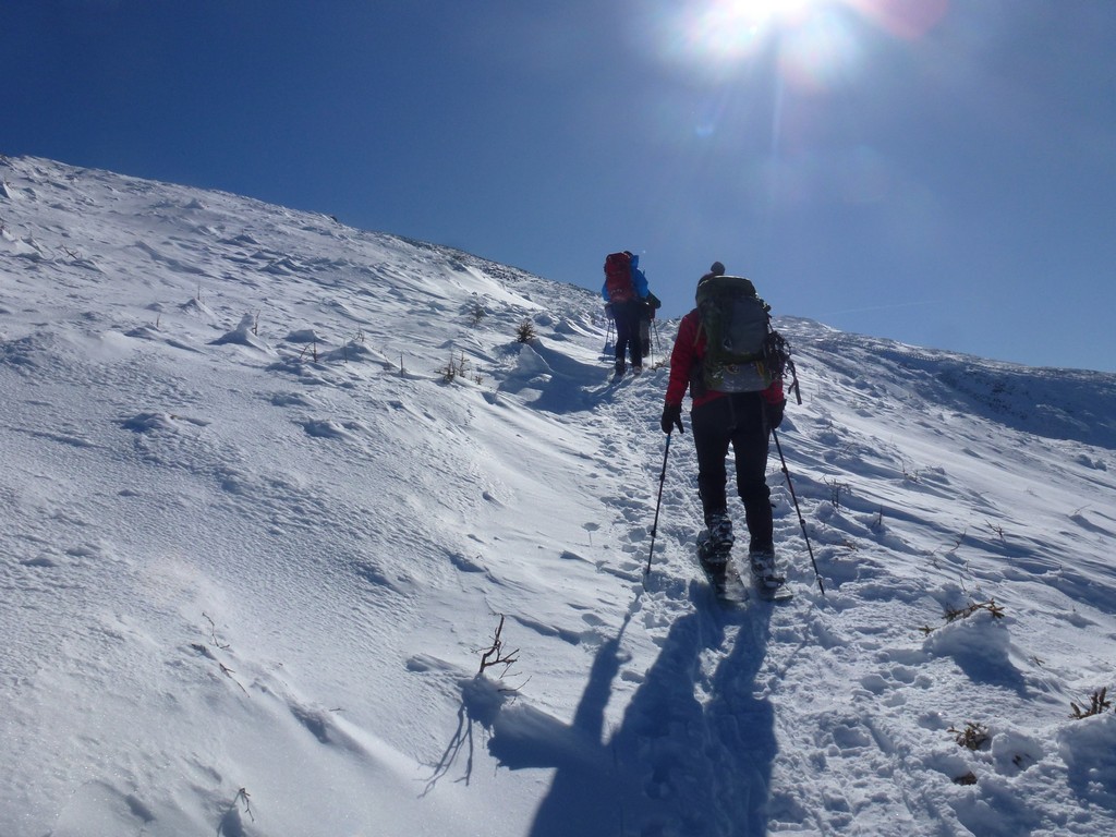
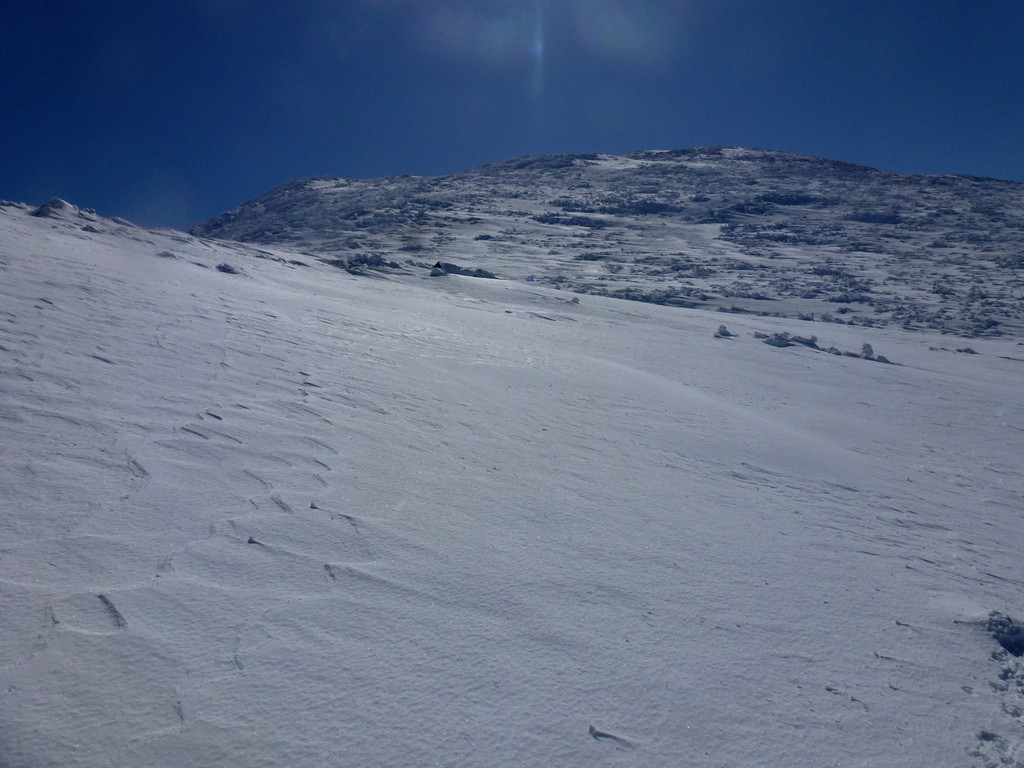
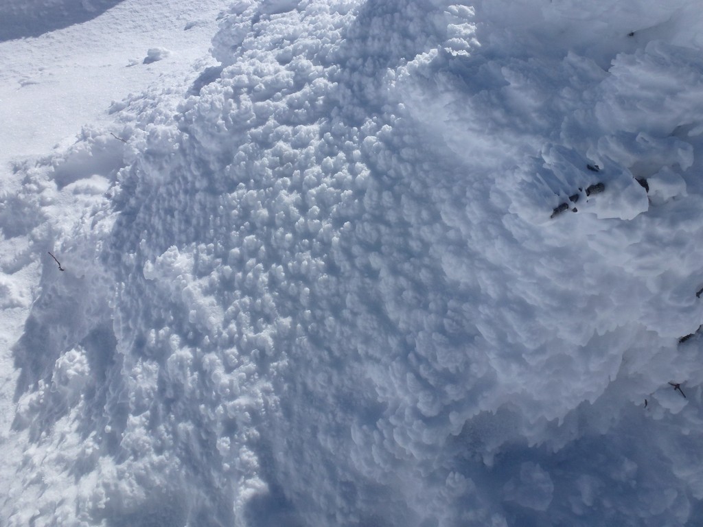
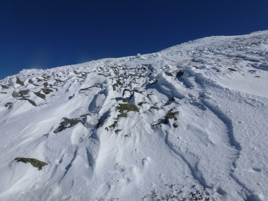
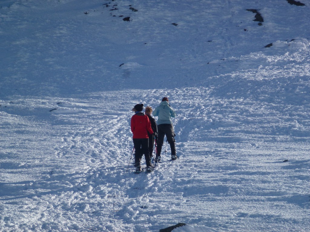
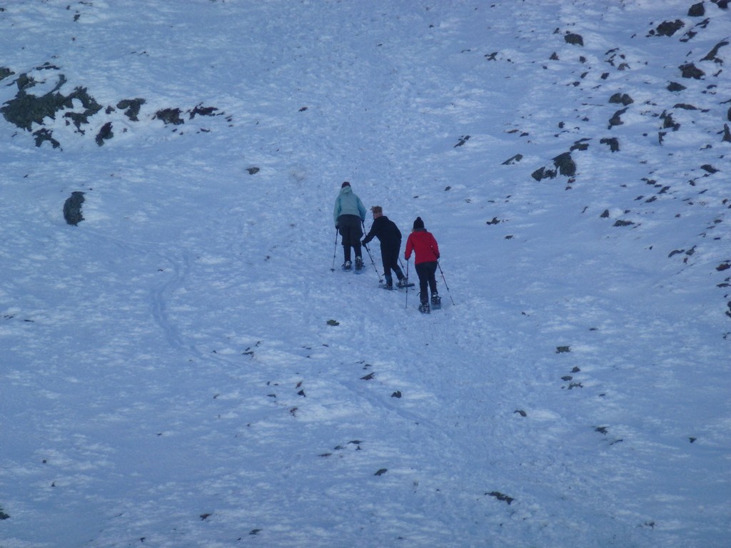
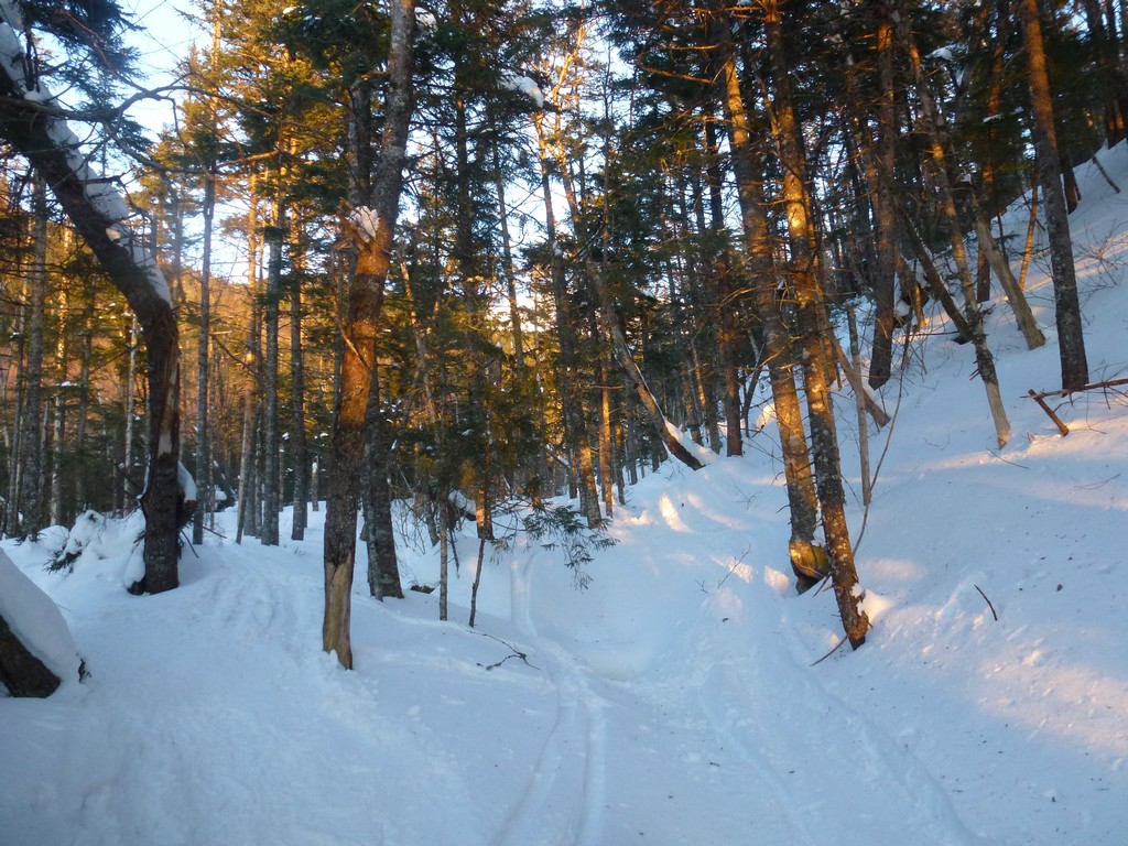
The first leg of the hike, up the Jewell Trail to the winter bushwhack was very easy. The trail was well broken but the snow was soft in places. We thought we would be able to start in microspikes but that did work so well and we soon switched to snowshoes and had those on for the remainder of the day.
The Jewell Trail is almost constantly uphill for its entire length with only a few breaks in the climbing.
|
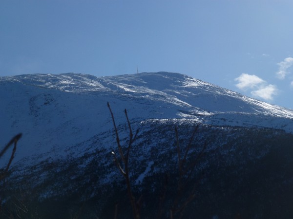
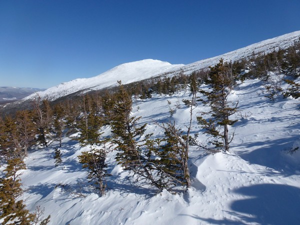
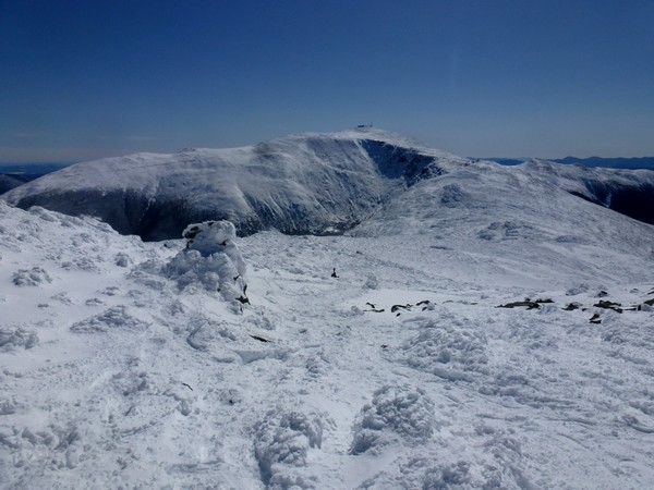
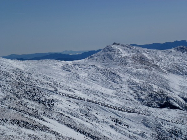
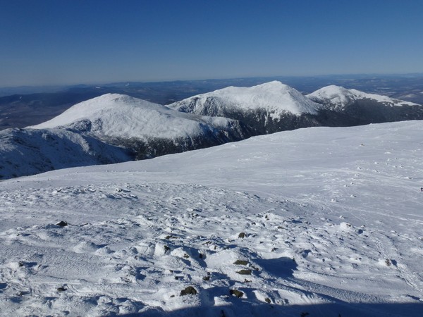
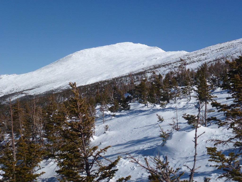
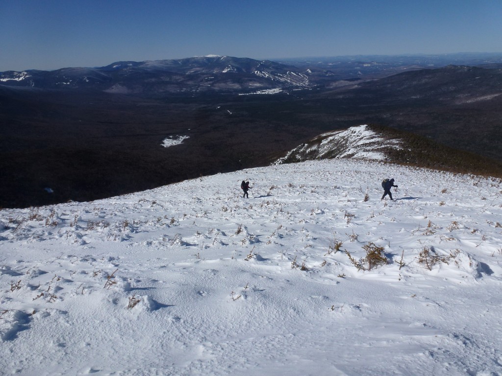
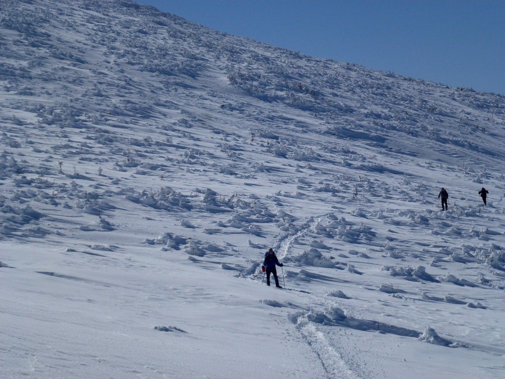
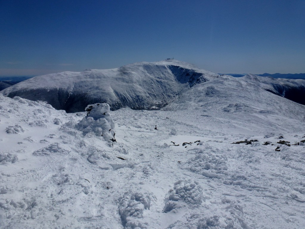
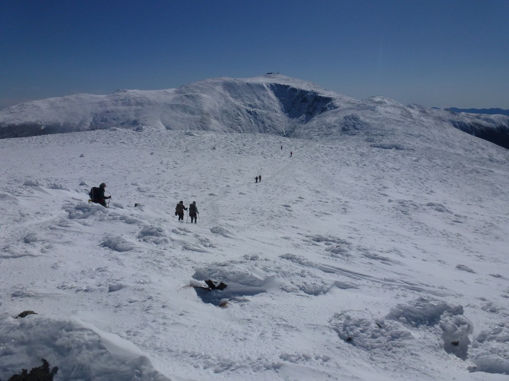
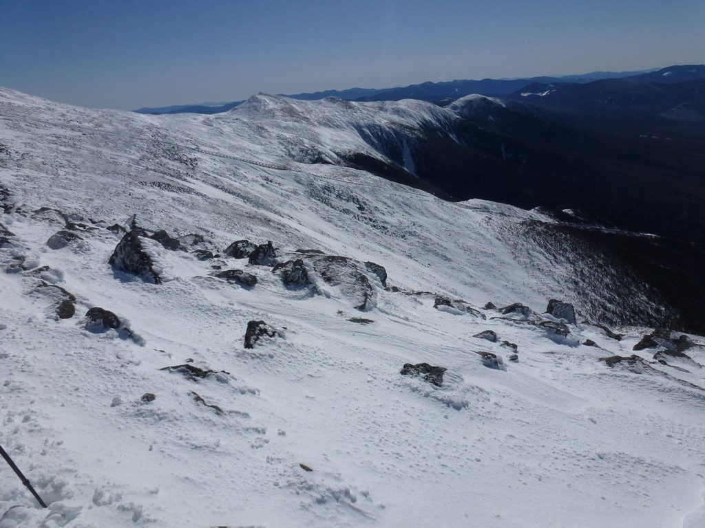
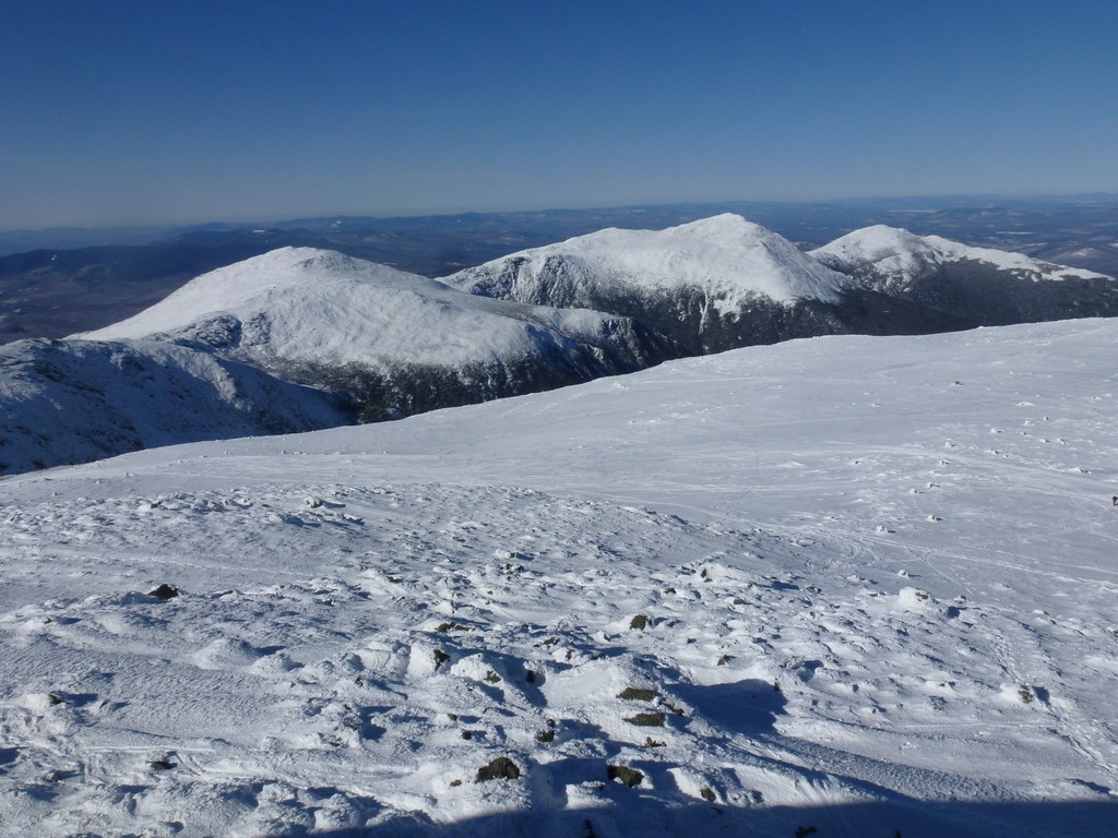
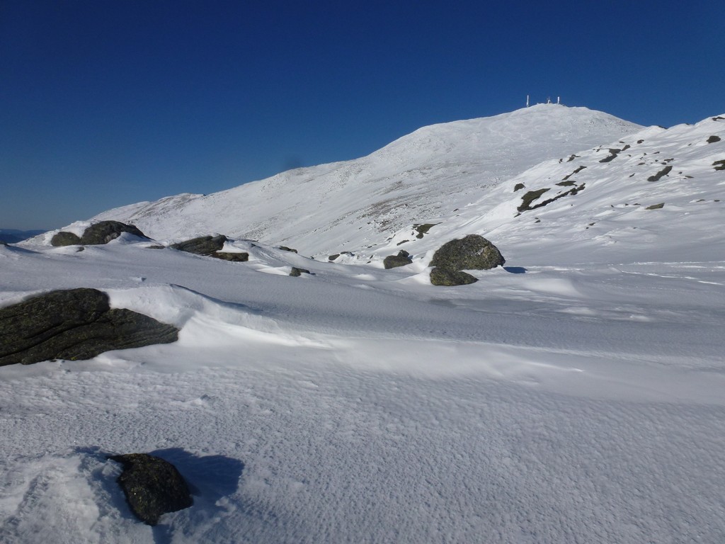
About halfway up the ridge we finally broke out of the trees and had a nice view of Mount Washington, which would be the second peak of the day.
|
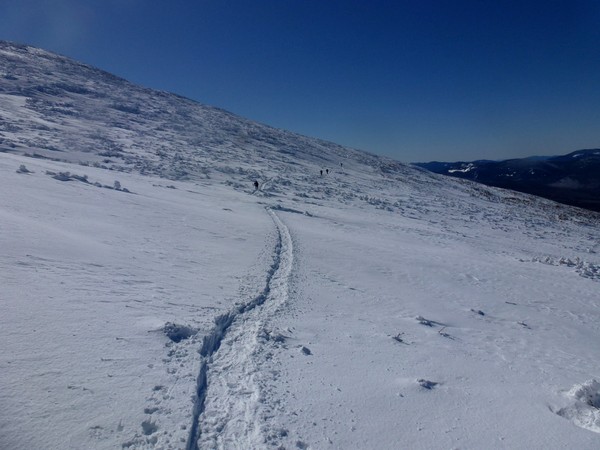
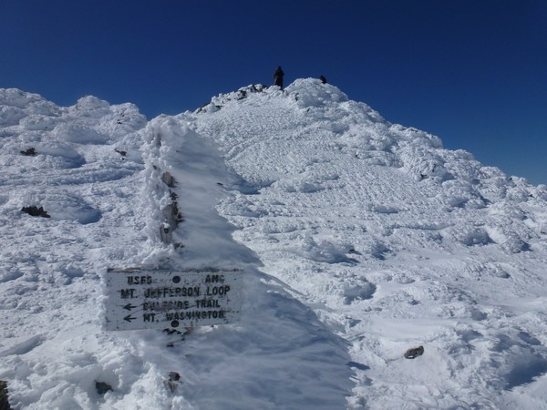
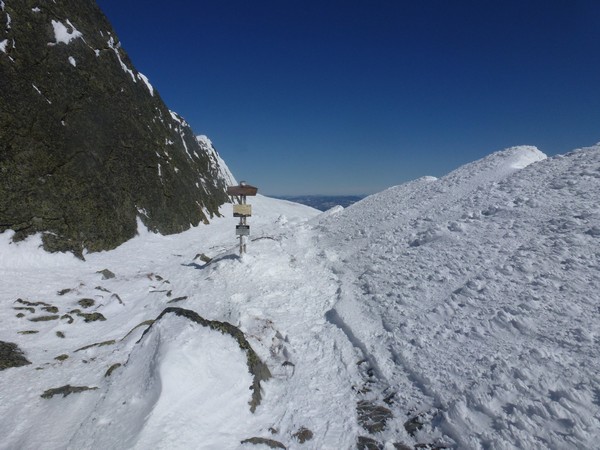
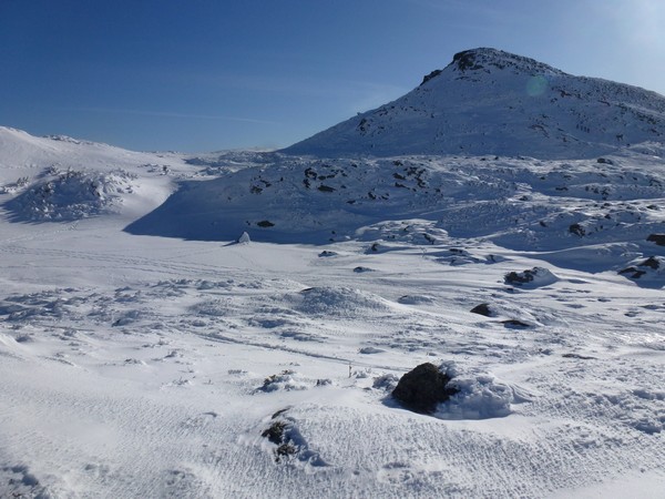
After another hour or so of climbing we finally reached the winter bushwhack/shortcut to the Gulfside Trail for hikers going to Mount Jefferson. The grade of the trail dropped off considerably along this section and we climbed only a little more than 100 feet over the next 0.65 miles.
|
We stopped briefly to chat with some hikers coming the other way at the junction with the Gulfside Trail. They had already summited Jefferson and were on their way back down.
|
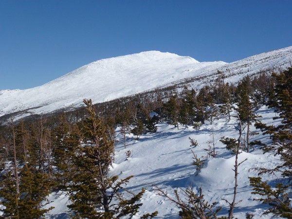
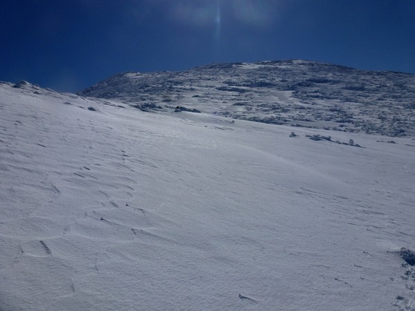
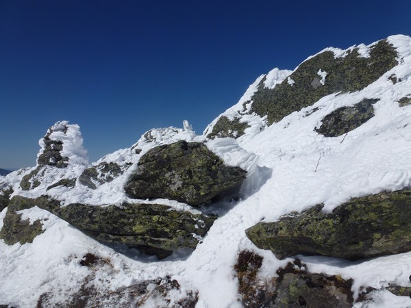
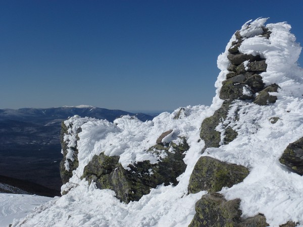
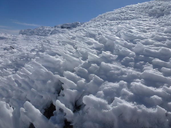
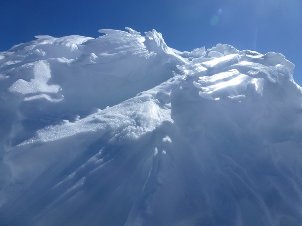
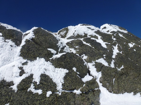
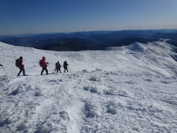
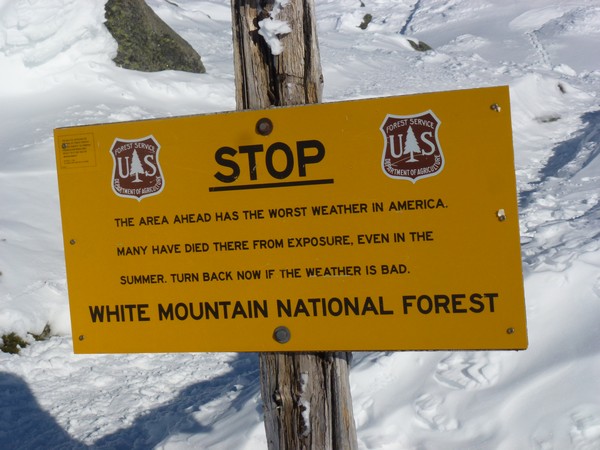
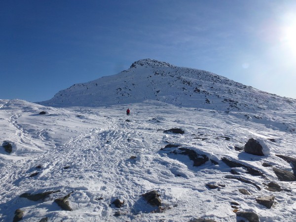
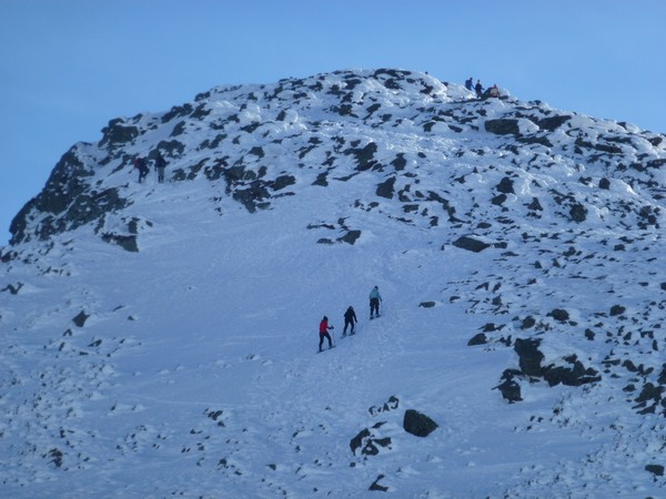
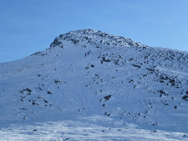
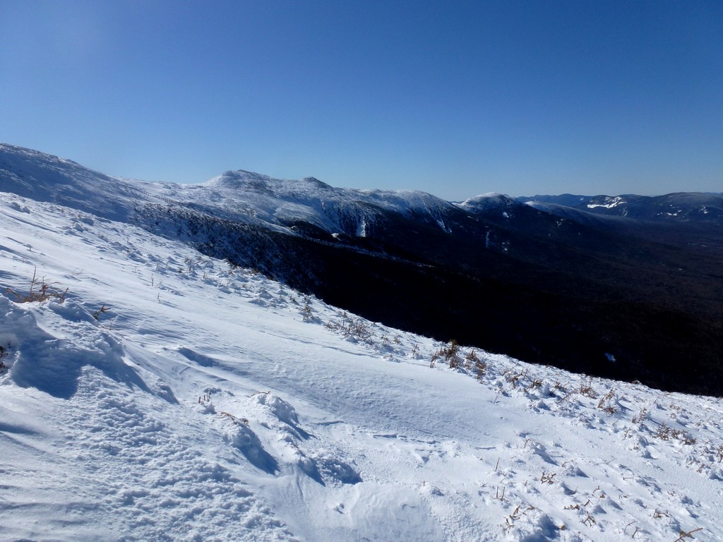
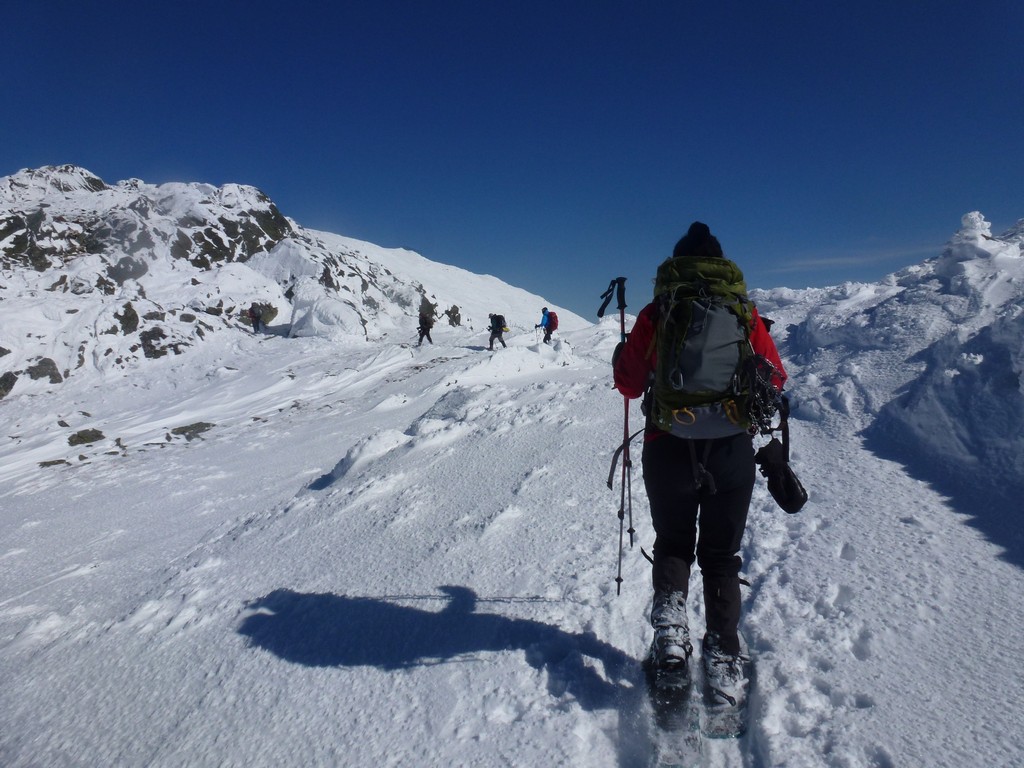
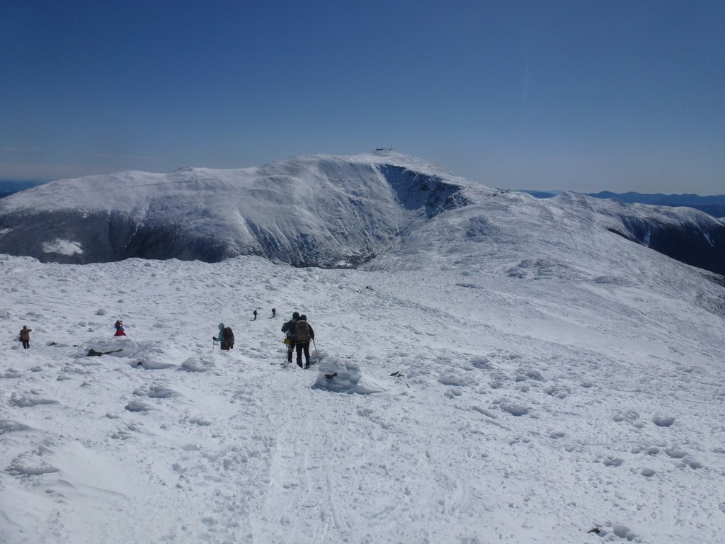
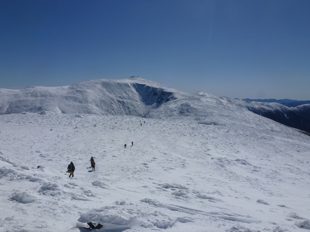
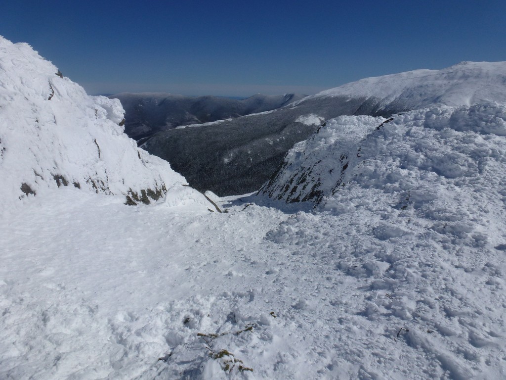
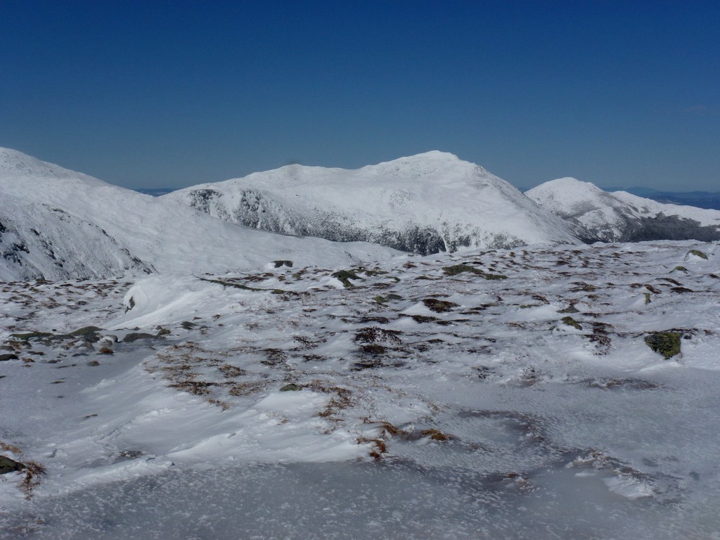
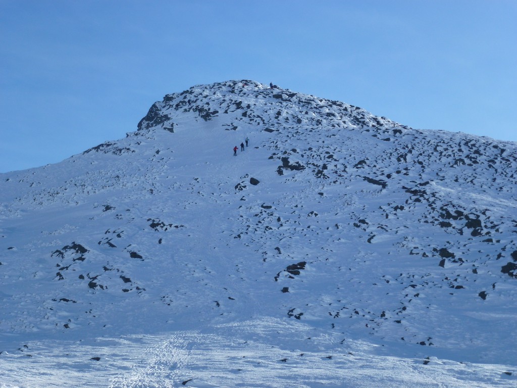
We continued on for about five minutes beyond the junction and then took a rest break before beginning the climb towards the Mount Jefferson summit. It was a glorious day and the sunshine and deep blue sky was a stark contrast with the pure white of the snow on the ridges and peaks. It was one of those "picture perfect" days that can be incredibly rare in the Presidential Range and I felt incredibly lucky to be bagging these peaks on such a nice day.
|
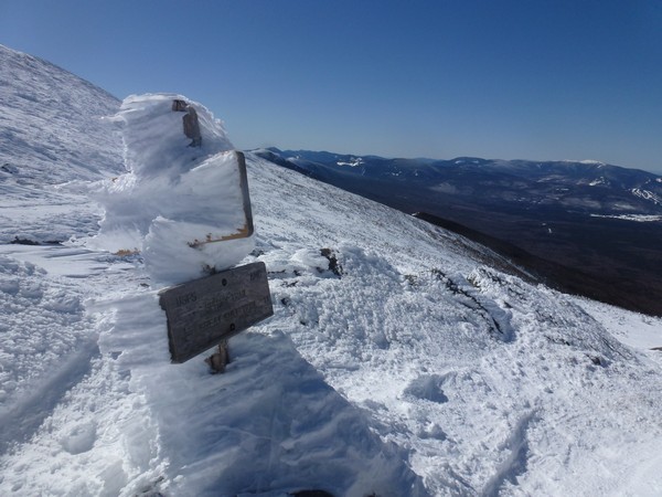
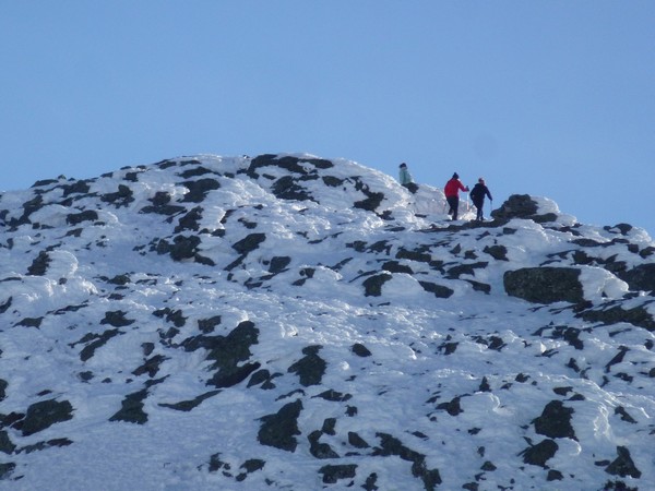
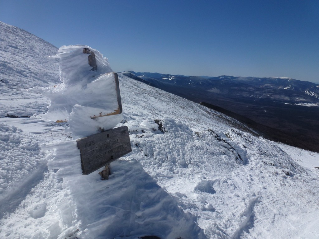
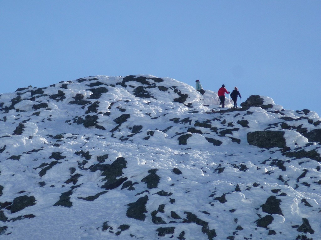
Our rest break ended up being about 15 minutes and about 45 minutes after leaving there we were on top of Mount Jefferson. The grade was considerably steeper than it had been along the bushwhack but not as steep as the Jewell Trail. The final climb to the summit of Mount Jefferson was steeper than the rest and that was more like the Jewell Trail had been.
|
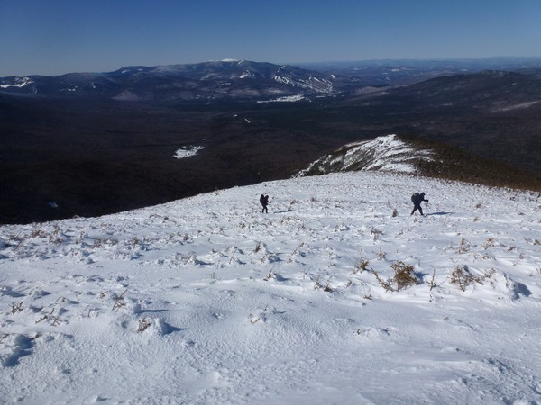
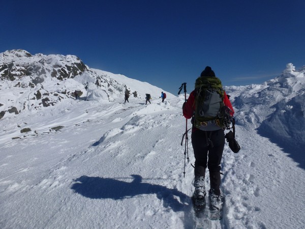
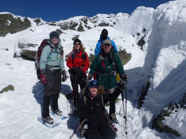
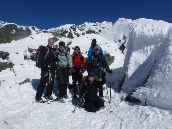
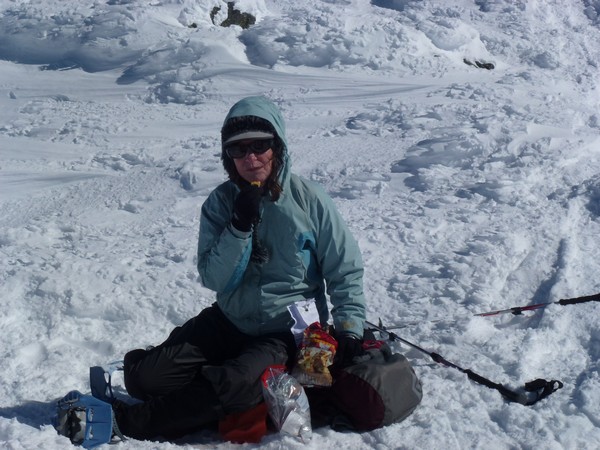
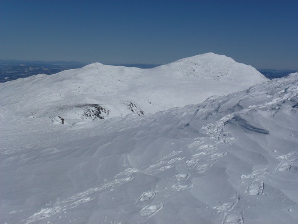
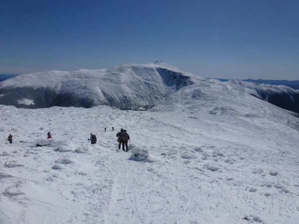
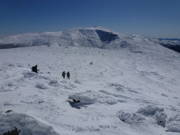
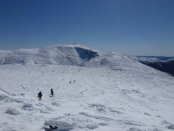
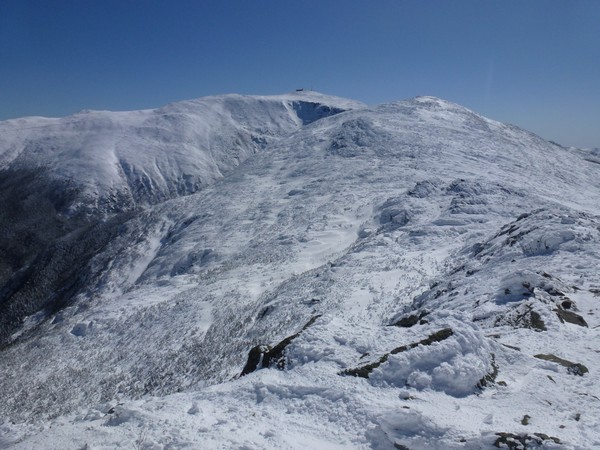
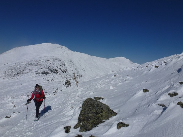
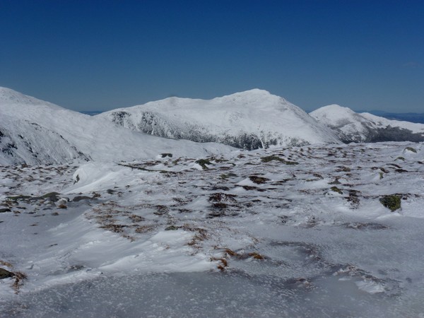
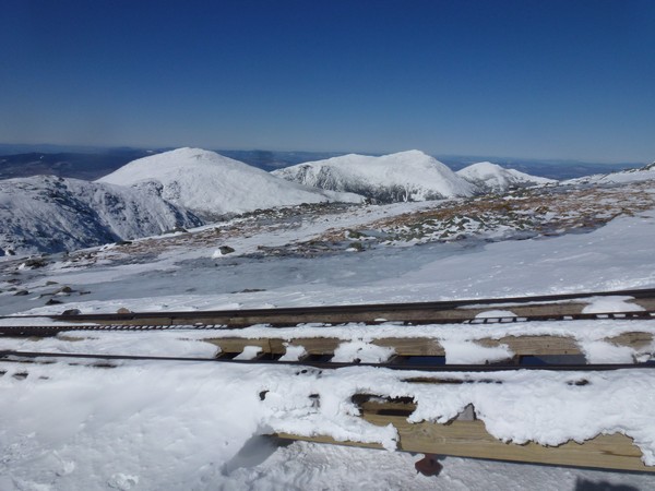
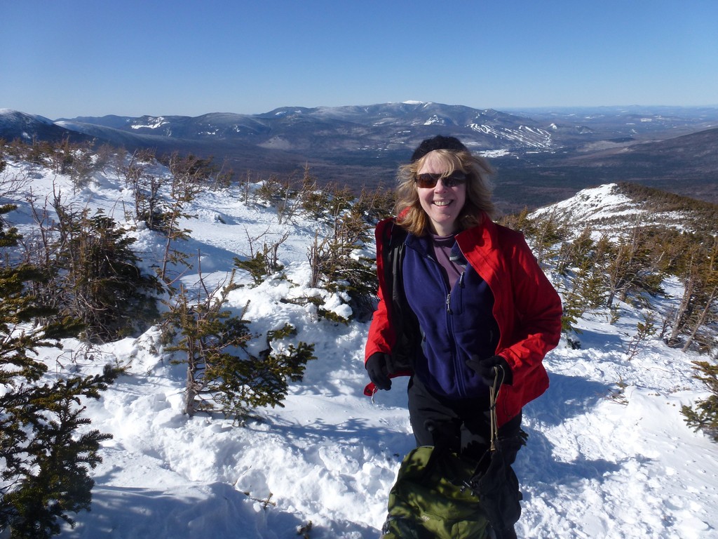
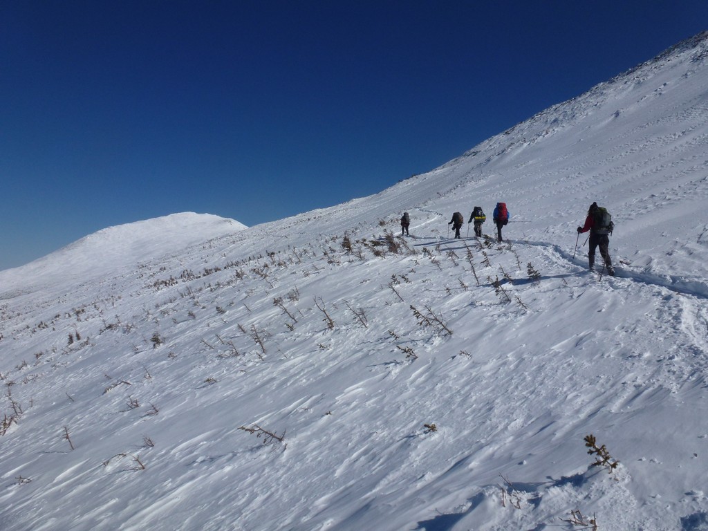
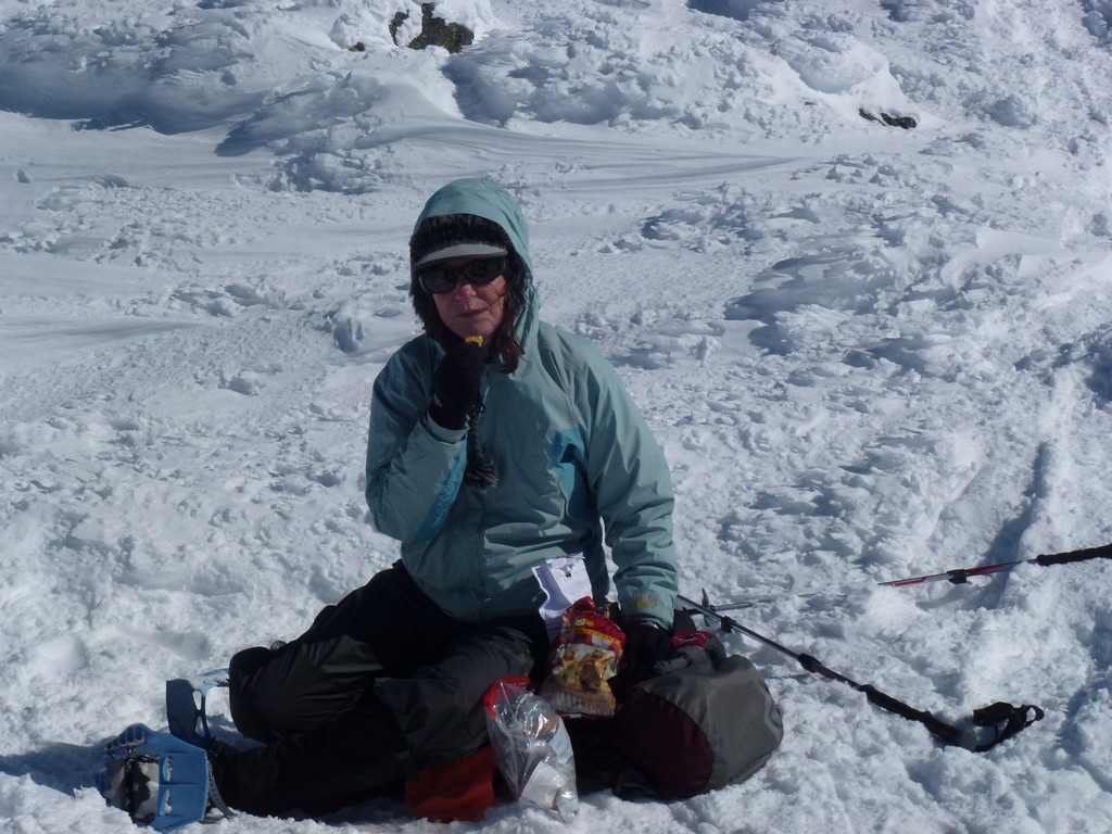
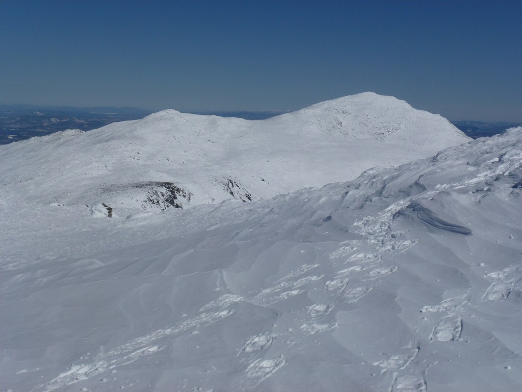
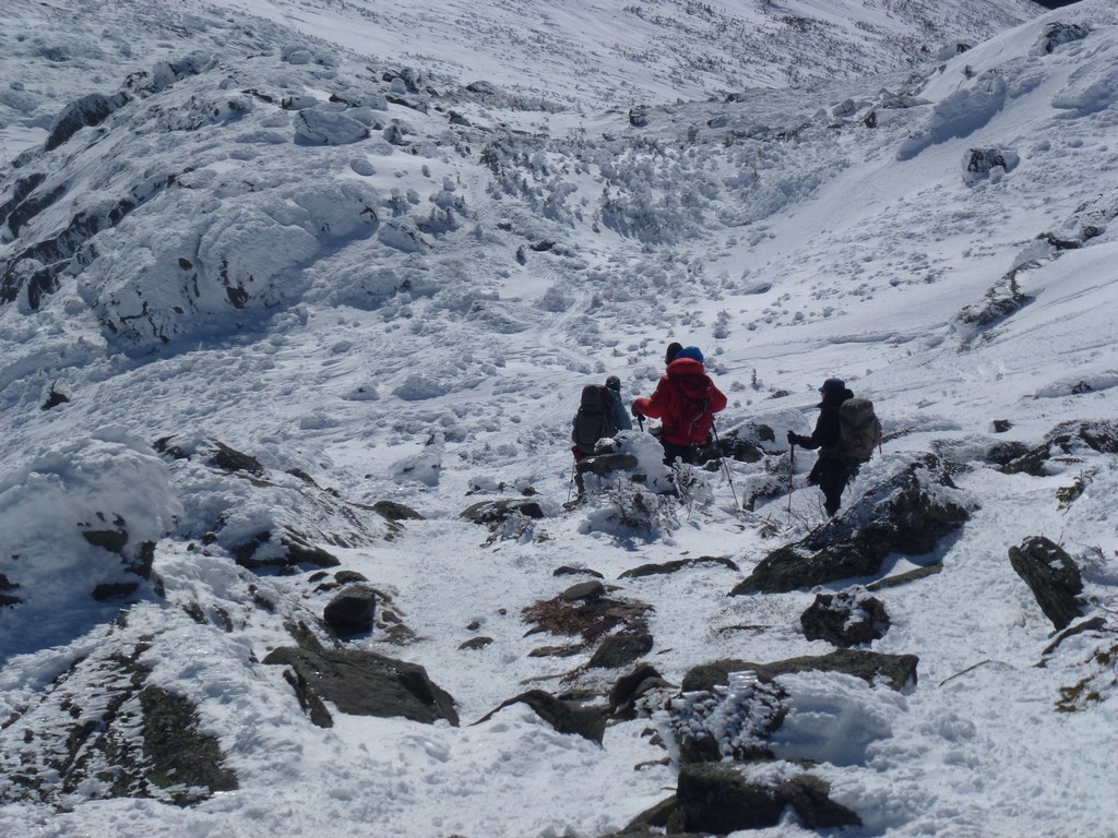
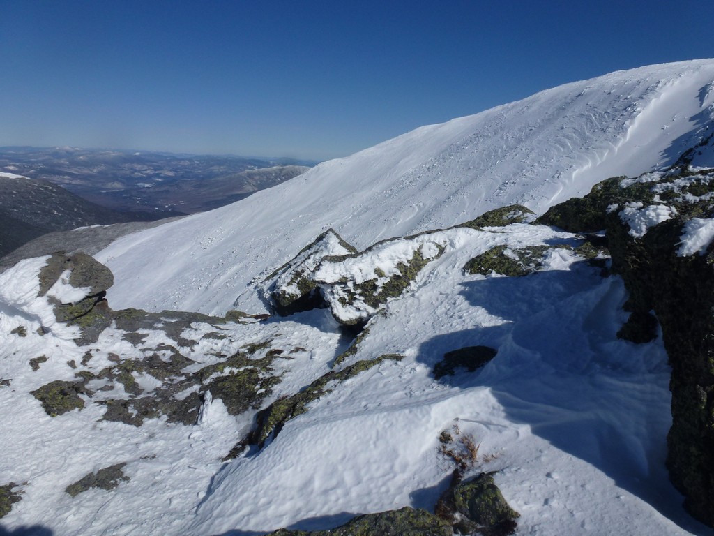
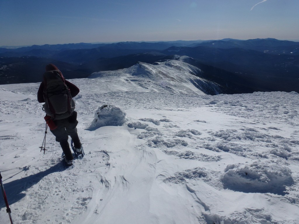
We spent about 25-30 minutes at Mount Jefferson, taking photos, chatting, having our summit cookies and other snacks before starting the trek south along the Great Gulf Trail towards Mount Washington. It was right around noon when we left Mount Jefferson and it took just under 2½ hours to go from there to Mount Washington. The descent from Mount Jefferson to the saddle between it and Mount Clay was fast and easy. We climbed a little along the north slope of Mount Clay befor leveling off for a while as we passed by a beautiful overlpook of he Great Gulf to our east.
|
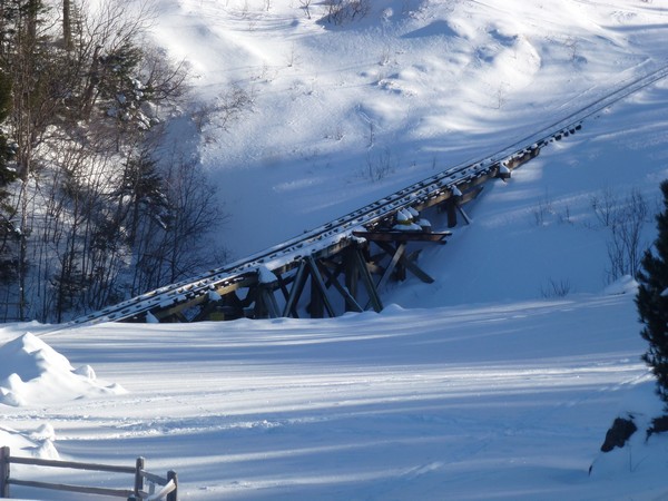
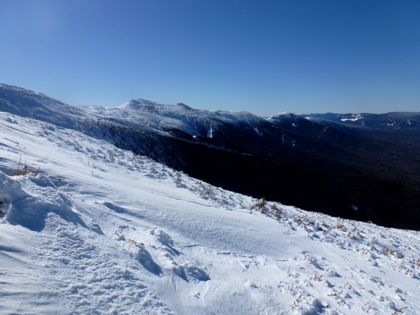
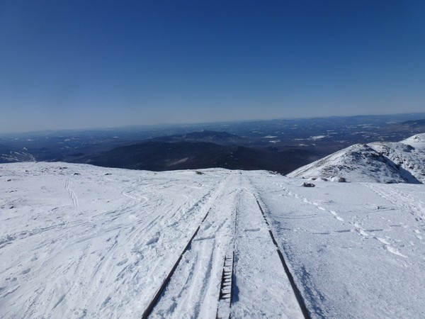
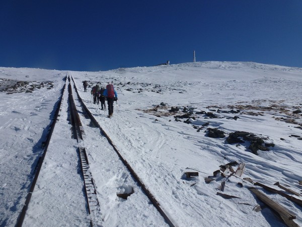
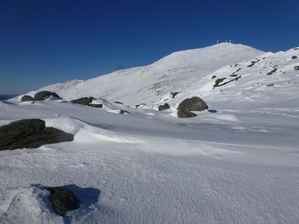
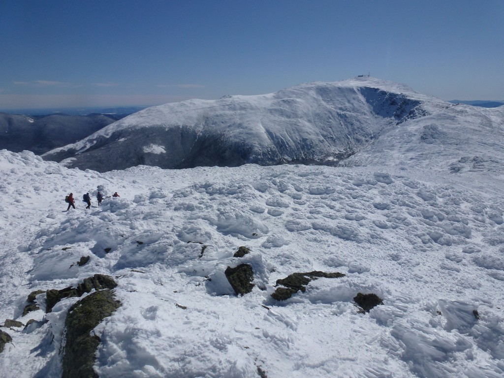
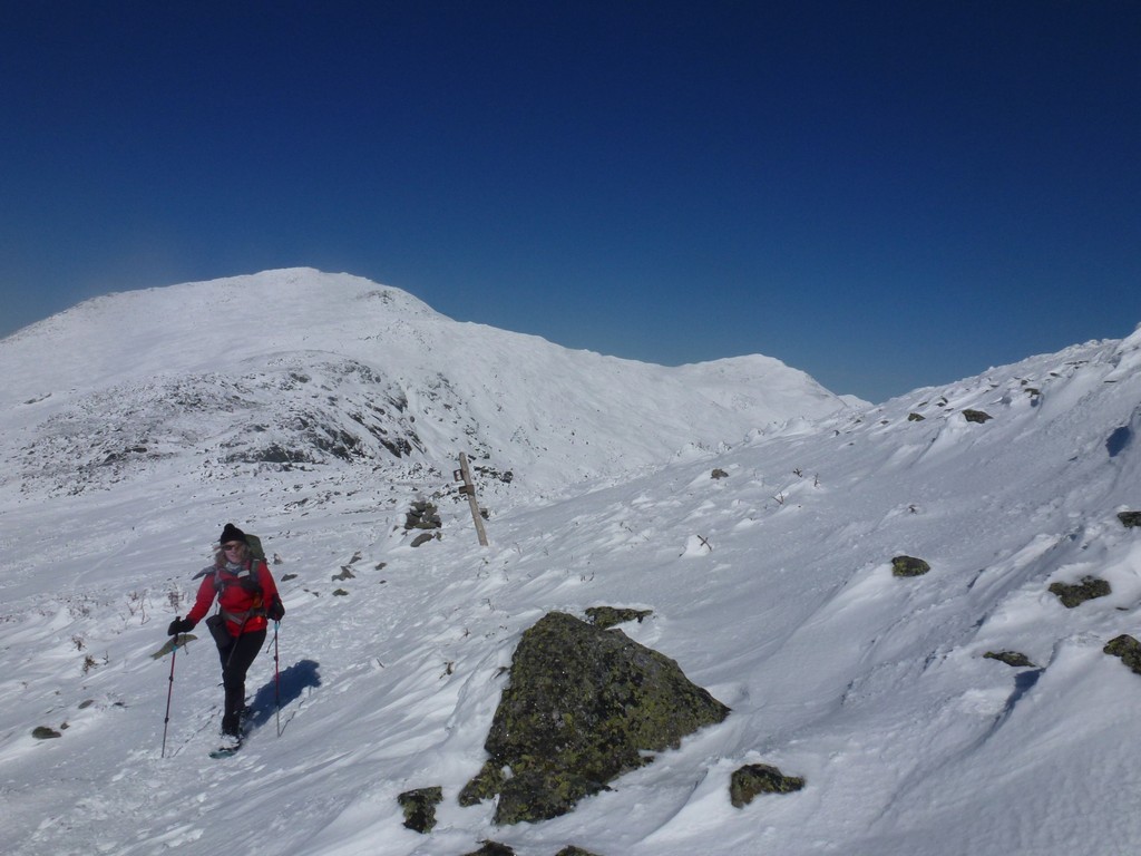
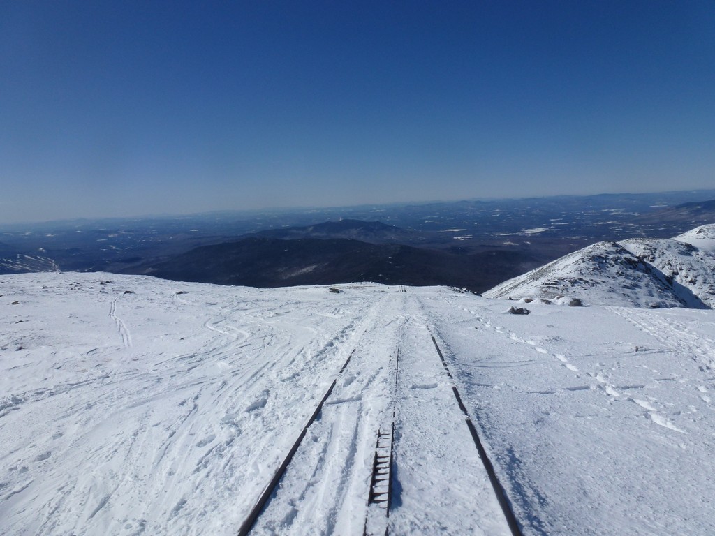
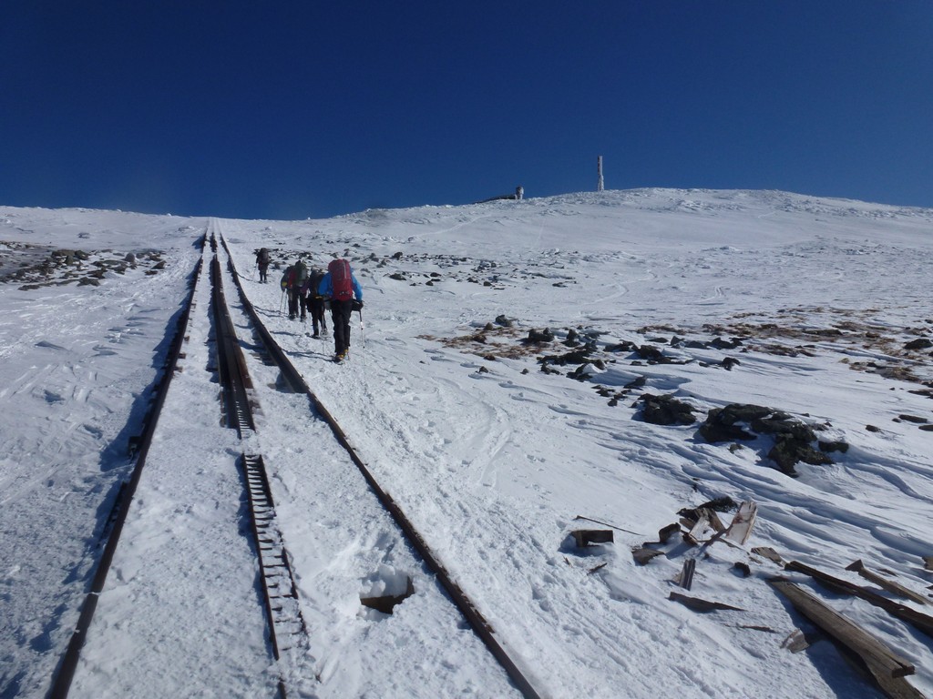
From the south side of Mount Clay we continued along the Great Gulf Trail towards our next goal, crossing the Cog Railway. We started climbing more along this section but it was more of a gradual climb and not really steep. We had some really nice view of the southern Predidentials and Mount Washington itself just got bigger and bigger the closer we got.
|
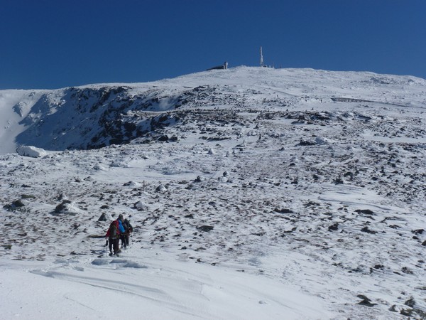
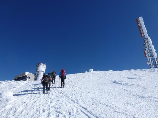
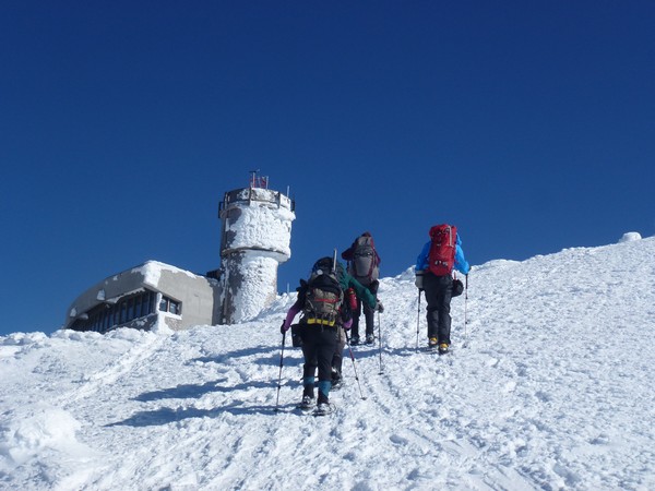
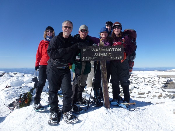
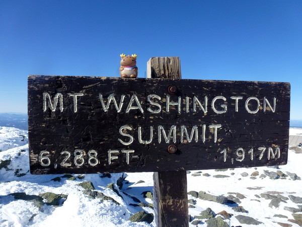
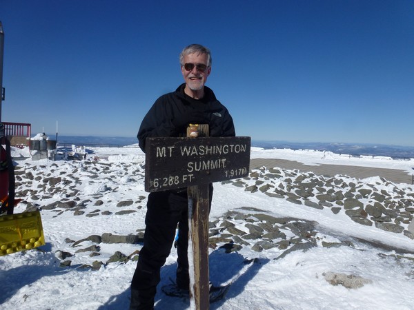
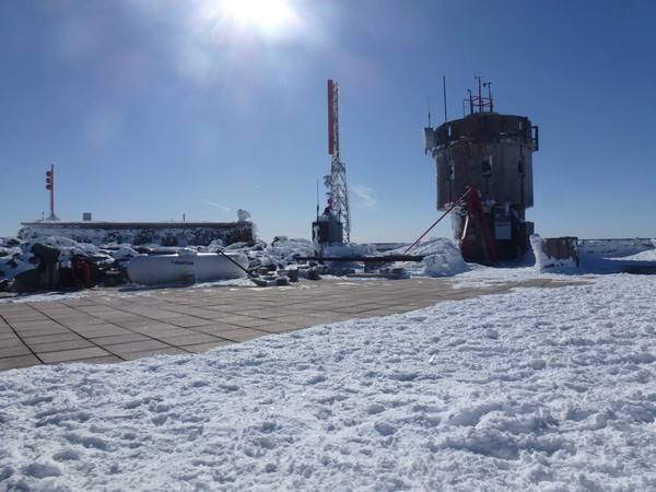
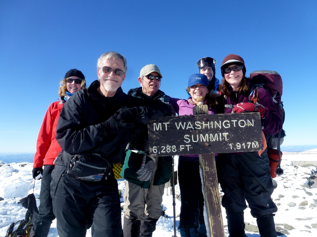
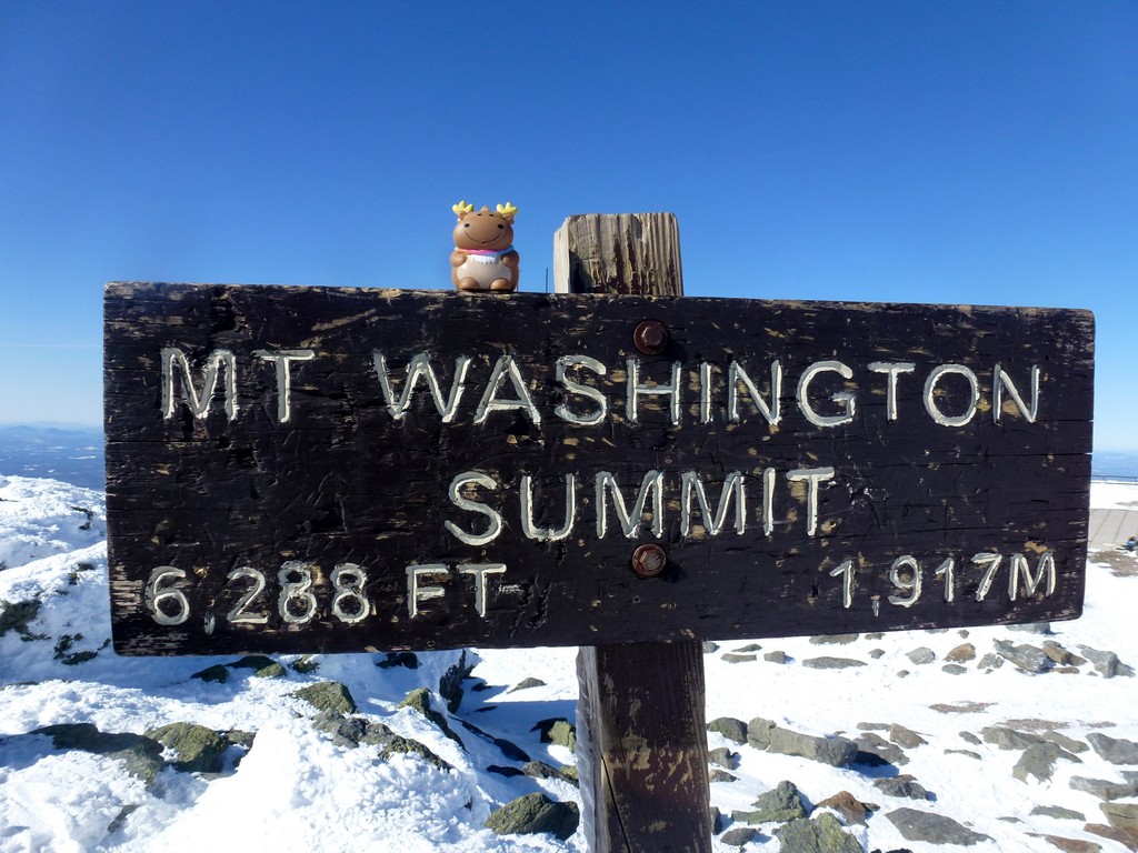
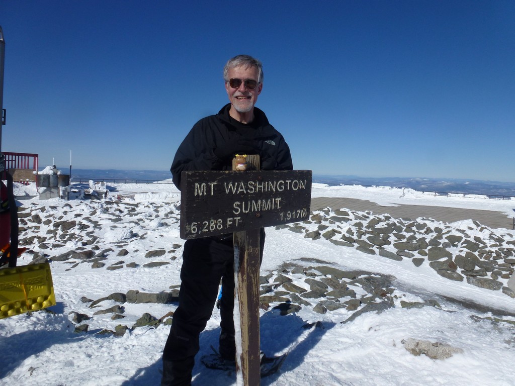
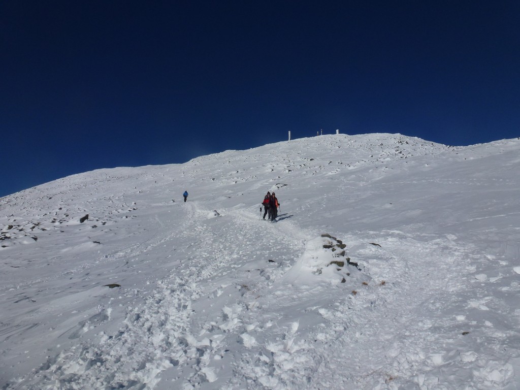
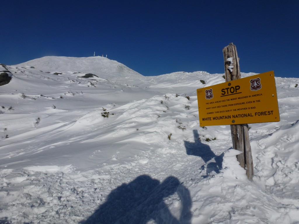
After crossing the Cog Railway we started the final climb towards the summit of Mount Washington and before we knew it we were there. That final stretch from crossing the Cog to the summit was only about a half of an hour. We saw numerous people sledding and skiing down Mount Washington along the Cog.
|
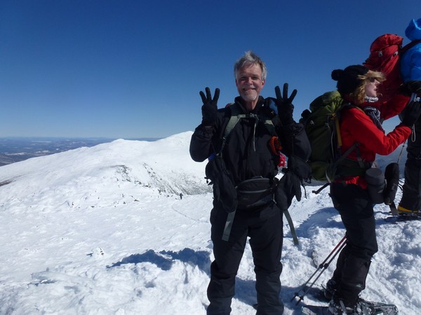
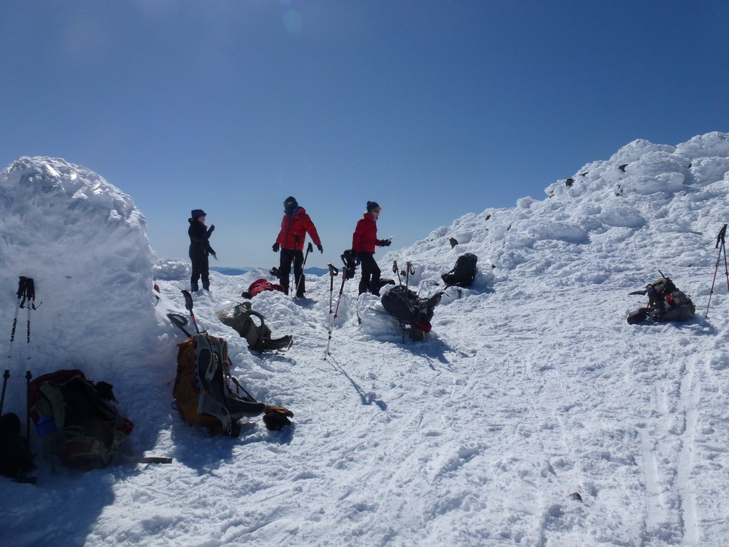
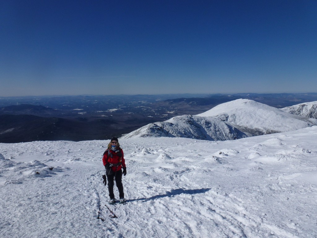
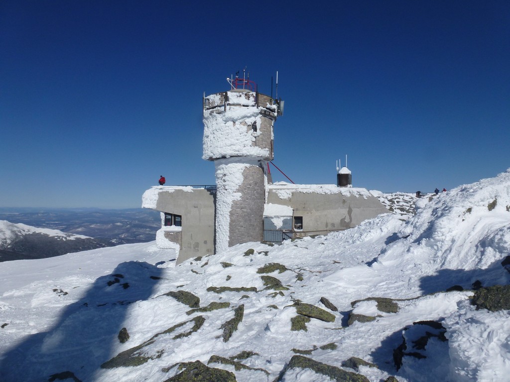
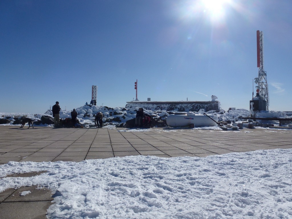
After taking photos at the summit we headed over to the overlook area for a rest and some more snacks before starting the trip back down the mountain. The weather was absolutely gorgeous up there on top with sunny and deep blues skies, temperatures in the upper 20s and absolutely no wind. There was some fairly strong wind right at the railing of the overlook but it seemed to be blowing straight up and not across.
|
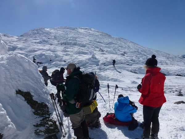
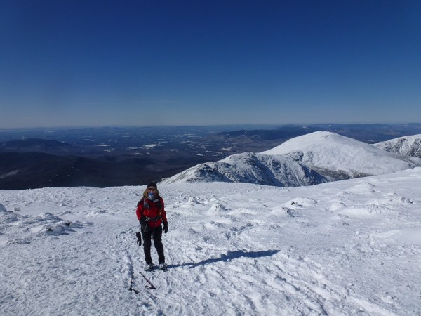
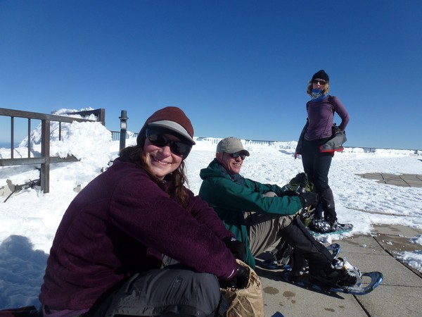
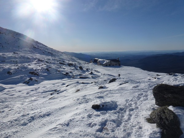
We were on top of Mount Washington for about a half of an hour before starting down the Crawford Path to the Lake of the Clouds AMC Hut.
|
While we were taking a rest break there was some discussion about bagging Mount Monroe as well. Linda needed it for her winter 4K list but she did not want to slow down the rest of the group by taking the time to do it. Pam offered to go with her and Carrie decided to go along as well. I didn't need it but had no problem waiting for them at the hut while they did it. Bob had a commitment and could not take the time out to wait so he and Eric started down. I had a nice long rest break and took photos of the gals going up. The original time estimate for the round-trip to the summit on Monroe and back was about 40 minutes but in the end it took a little less than 30.
|
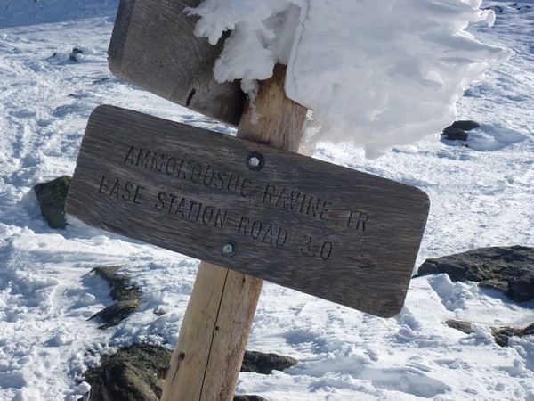
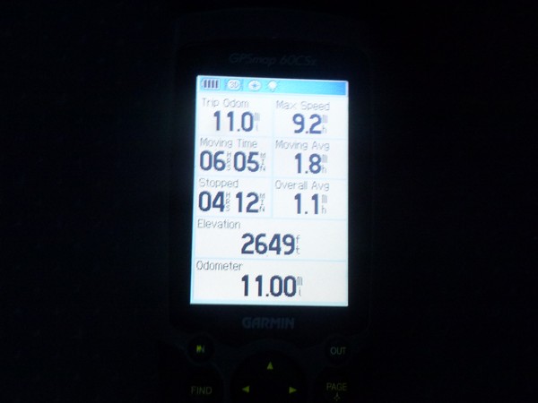
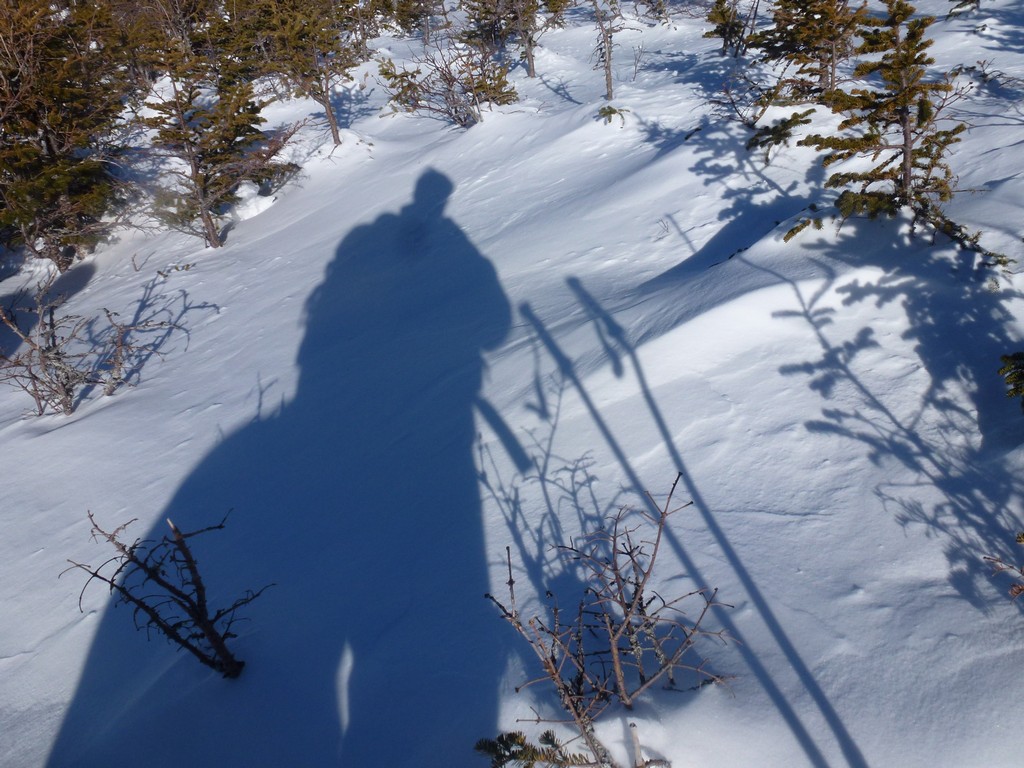
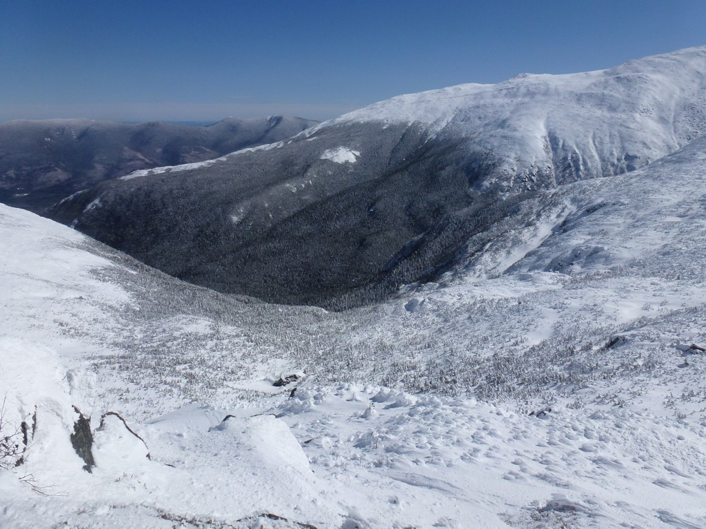
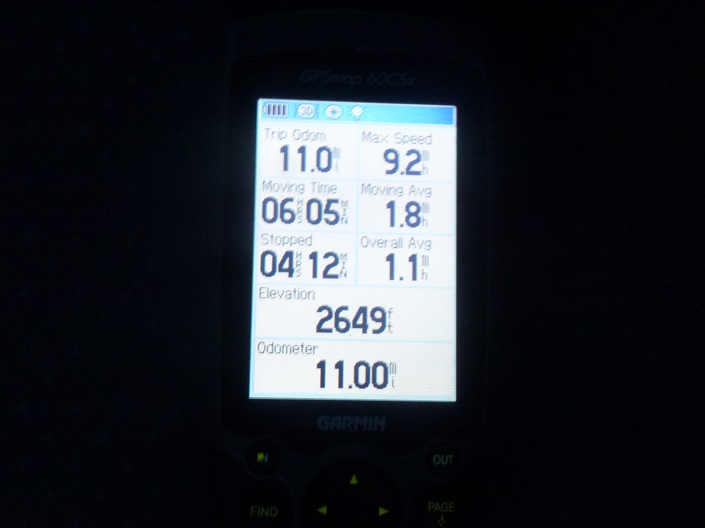
We all started down the Ammonoosuc Ravine Trail as soon as they were back and we made very good time going down. There was lots of good butt sliding on the way down and out of the 3 miles we had to go I think close to 1 mile of that was probably spent on our butts. A couple of these slides were very long and seemed to go on forever. My guess is these could each have been a quarter mile or more.
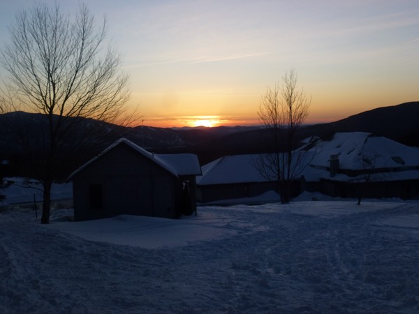
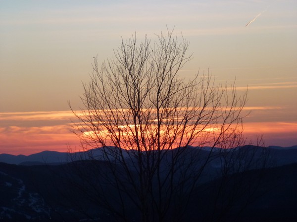
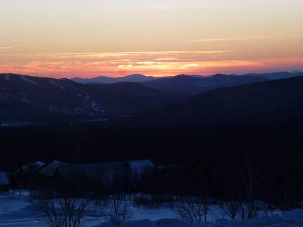
When we finally got back down to the Base Station we were treated to the most incredible sunset.
|
|
|
|---|
|
|---|


